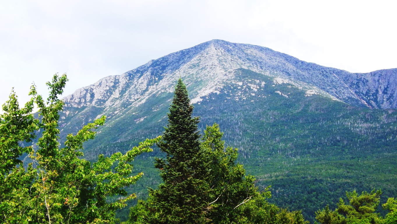
Black Hills National Forest
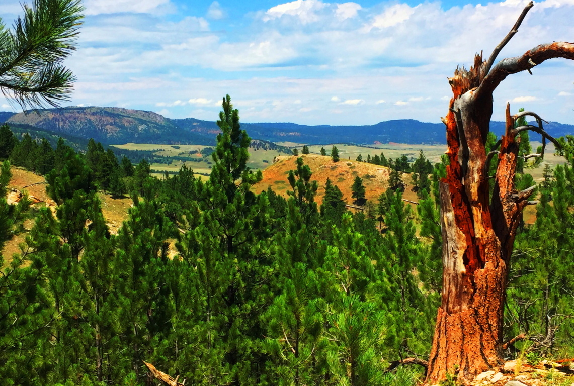
Location: Sundance, Wyoming/USA
Elevation: 3,100 ft
Prominence: 1200 ft
Note: Before you begin reading I already know what you’re thinking: “What could possibly be exciting about Wyoming? (yawn)” It’s a fair question, and something that should be addressed straight-away. The answer might surprise you a little. The truth is, the answer is totally related to what kind of hiker you are, and somewhat philosophical. You have to ask yourself: “Am I a trailblazing, stone-kicking, seeker of sacred zones in the misty heights?” “A geared-up ‘earthbound-astronaut-in-boots’ made for 10,000 feet above sea-level?” “Am I wading waist-deep in the Irish-muck to get to the distant hill where the Dolmen sits?” “Am I willing to go to that way-out-there place which others dismiss as too inconvenient?” In other words, are you passionate about breaking the domesticated spell of post-modern life? Or…are you the needy type? Do you need attention and noise? Are you in the habit of speaking constantly, needing to hear about this, that, and the other thing from the social-media feed? Do you need lots of stuff at your disposal? Do you need to be close to a metropolis and all its accoutrements? Do you need a constant phone/computer signal? If so, you’re not alone; but let’s put distant, hard to reach, places into perspective;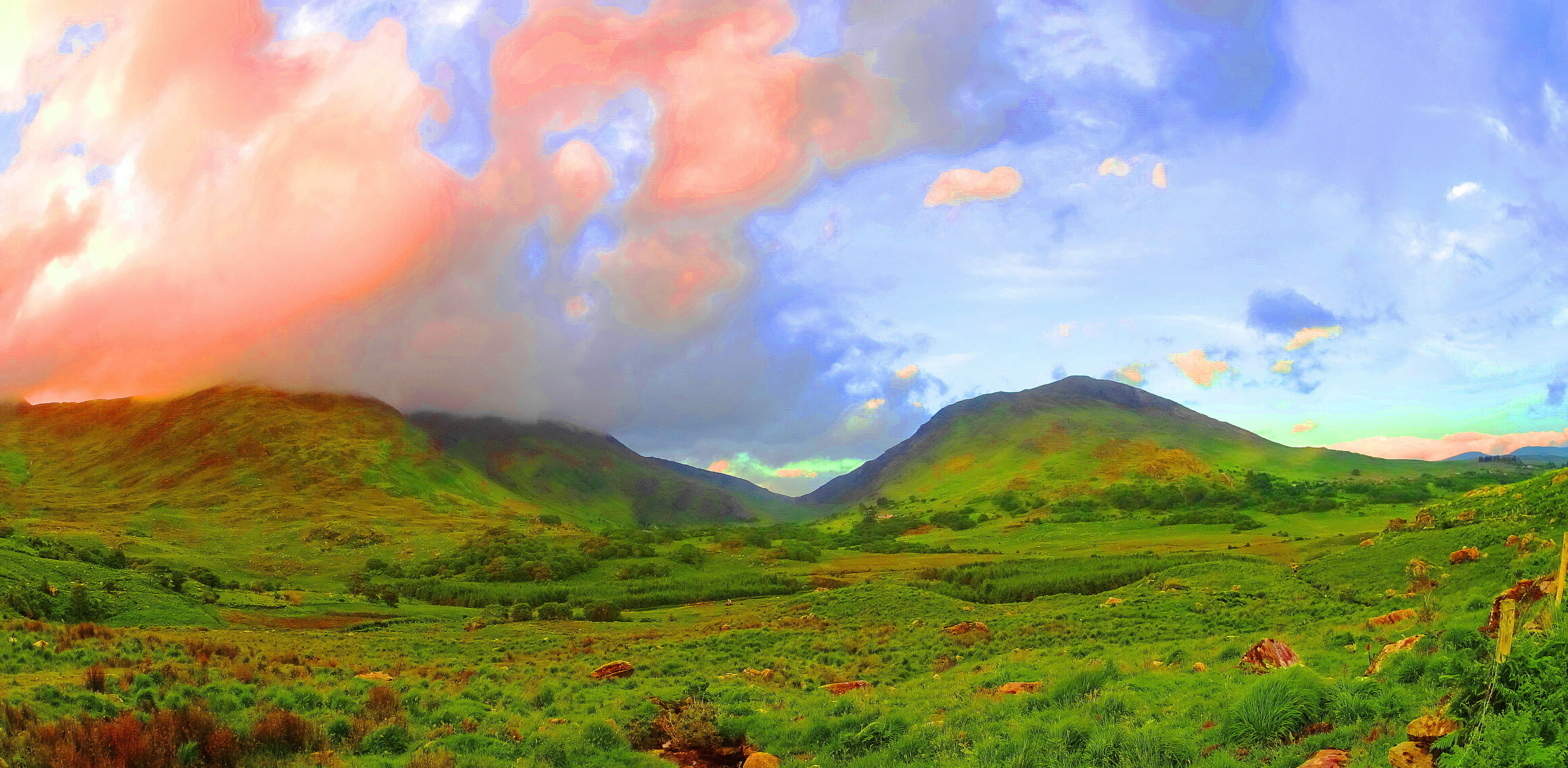 If, for example, you were to show up in a place like Killarney Ireland (Image/Left) with this needy attitude, a Killarney which is a darkly magical, mostly wet, Celtic wilderness of eternal greenery, you could perhaps say the same needy things you say of Wyoming, like: “Oh man, it’s just farms and mountains without a soul in sight”… etc etc etc. And with this needy attitude you will have already failed. You might as well go on a cruise and do the thing where you get off the boat, and then back on, after looking at a mountain from the beach, for about ten minutes. Awful. The point is this: the only real difference between the stellar beauty of a romantic wilderness like Killarney, and the lessor known wilderness of The Black Hills (Image/Below), is only the basics of fauna of the landscapes, and that’s it.
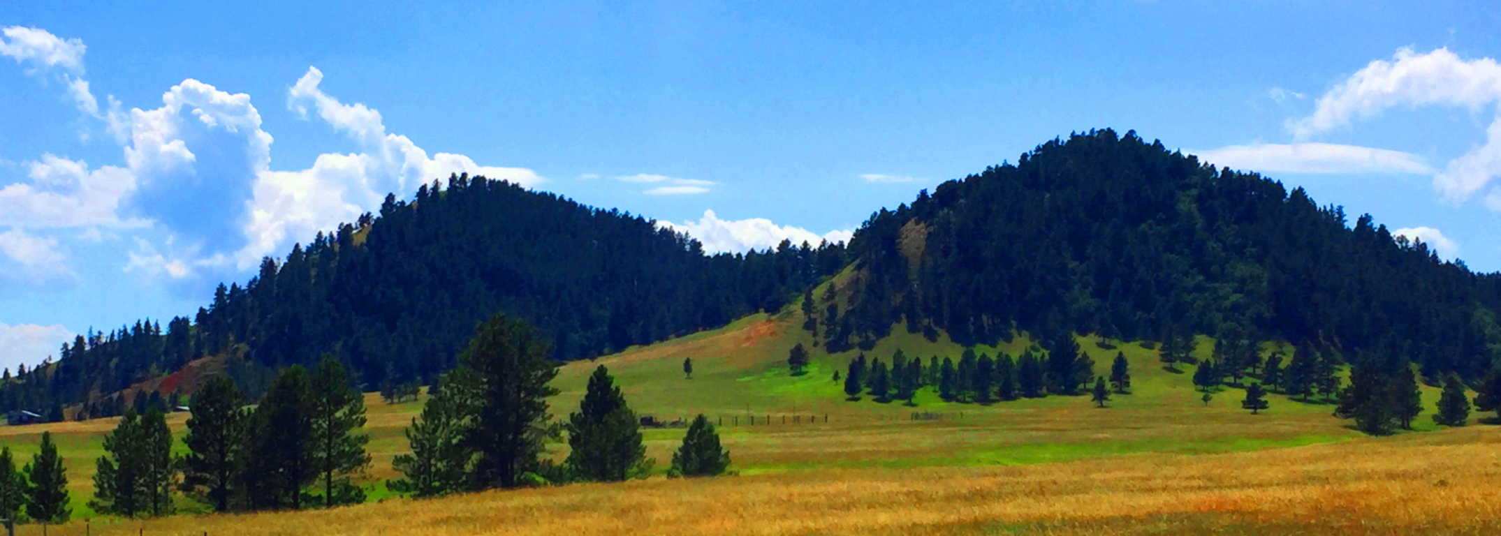 That’s all. The potential for wonder and exploration is just as possible in Wyoming as it is anywhere else on Earth. Both are haunting and spacious, eccentrically-far from any city, and soooo quiet that they are equally capable of making you face that illusive, money-bound, noise factory, you currently know as…. yourself. The Black Hills in Wyoming is yet another dream-scape that can heal your senses and sooth your thoughts. There are romantic signs in the mountains of a history that goes right back to the primordial beginning of Time, just like Celtic sites. If you open your eyes in this way, Black Hills Wyoming is a vast mystical zone, just waiting to embrace you.
  In American modern cinema, in films such as ‘Dances With Wolves’, ‘The Last of The Mohicans”, or “The Revanent”, there is an image of the “spiritually in-tune” Native American. This image of the stoic, quiet minded, spiritually animated native, is not easily grasped by the domesticated culture we now find ourselves in, where almost 65% of the population has now been forced to inhabit cities. It is hard to comprehend the once spiritual state of the Native American in such a postmodern situation. But, if cities are the mechanism for our domestication, than places like Black Hills National Forest in Wyoming, are the mechanism for cosmic-quiet, and a confident solitude that the Native Americans once knew. When you enter them, the quiet is practically a persona to be interacted with, not just a lack of meaningless bustle and monotonous motion. You can truly realize this in this absolutely vast space, and slightly hypnotizing slopes of the Black Hills.
Even the image of this wide-open landscape can’t do the actual scale justice. South of this place, the Wyoming Plain rolls like an intermediary dimension between Heaven and Hell, neither rising nor falling, just continuing into an ever distant blue horizon. Some History: Obviously no Roman Army ever traversed this place, like in England or France, although, I have to think that the Caesars would have been tempted by the idea of crossing such a vast stretch of accessible land, like when they penetrated the high Plains of Scotland, where they were eventually turned back by the Picti (Scottish Natives). So, who did walk in this place in Wyoming? The Arapaho, Cheyenne, Ute, and Shoshone all inhabited this vast space as warrior-hunters of the Plains. We now know that most of their ancestors wandered over the land-bridge while hunting animals from the East-Eurasian Continent to what is now Alaska, created by the receding Ice-Age some 40,000 years ago. Once upon a time, this Plain was inundated with Buffalo, an animal by which nearly every human need can be resourced. The native tribes, amazingly, say that they were NOT the first to inhabit this place, but rather, the ancient myths tell of a race of “Celtic looking (caucasion) red-haired giants” who were already here when the natives arrived. Strangely enough, the Native Israelite tribes encountered the exact same thing when they entered Israel from Arabia, discovering giants in the hills, which is recorded in Semetic Scripture: ‘Numbers 13:32’. The Mayan and Inca say the very same thing. The megaliths of South America were there BEFORE THEY ARRIVED. In fact, nearly every Native American tribe has stories of giants controlling the heights of the mountains and hills. And these are the oldest stories that the tribes have to offer, which are now faded into inaccuracy and mere myth, due to the genocide that came for the natives in the modern Era. Like the native Scottish Picti tribes, these Native Americans were at-one with the landscape, and also like the Picti, when a foreign army came marching through, they decided to paint themselves for battle, and fight. Of-course it wasn’t the Roman Army which wandered into the heights of Wyoming, but The Union Army, a far more advanced and devastating force, and we know how that story ends. Don’t let this wide-open space and silence fool you; although it is profoundly peaceful there are mysteries and epic events which took place here, making it that much more haunting in the heights of the trail. The natives called this place “The Black Hills”, although I am not entirely sure how they could have…
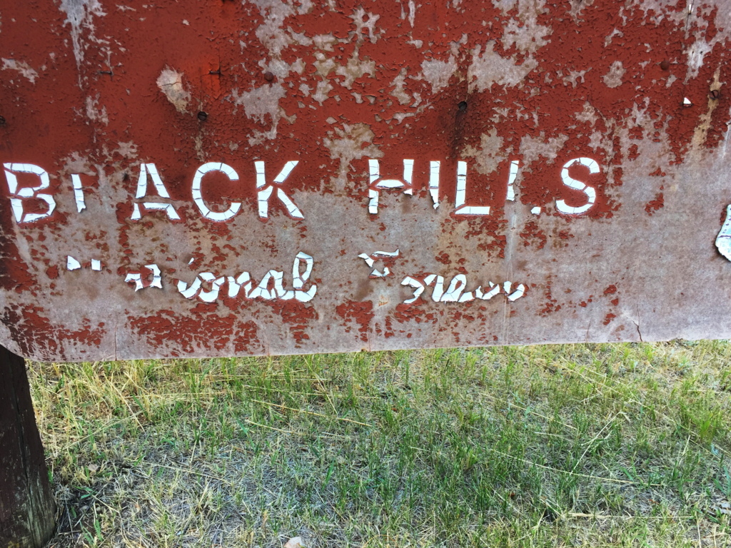 The scene is a dry green and golden haze that embeds striking patches of massive trees and knolls. It all booms-out over the region as if it never ends. The trails are not what you would call ‘a going concern’, but are still marked by the classic cursive lettering and soil-brown signs that were erected at the turn of the century. I’ve waited my entire life to see one of these particular types of signs; seeing one means you’re in the Great North West of America; a rock-star zone for hikers. This is the listed trail-head for the Black Hills, down a lulling farm-road, about 7 miles from the classically Americana town of Sundance Wyoming, population 1,182. Sundance has veterans who died for the United States memorialized in the center of Town, along with home-like breakfast parlors and ice-cream shops straight out of a Norman Rockwell painting. But these people aren’t lost to the Times, as you might ignorantly assume; they are a deeply rustic, tough, and caring people who look you straight in the eye, and extend a helping hand in a moments notice.
 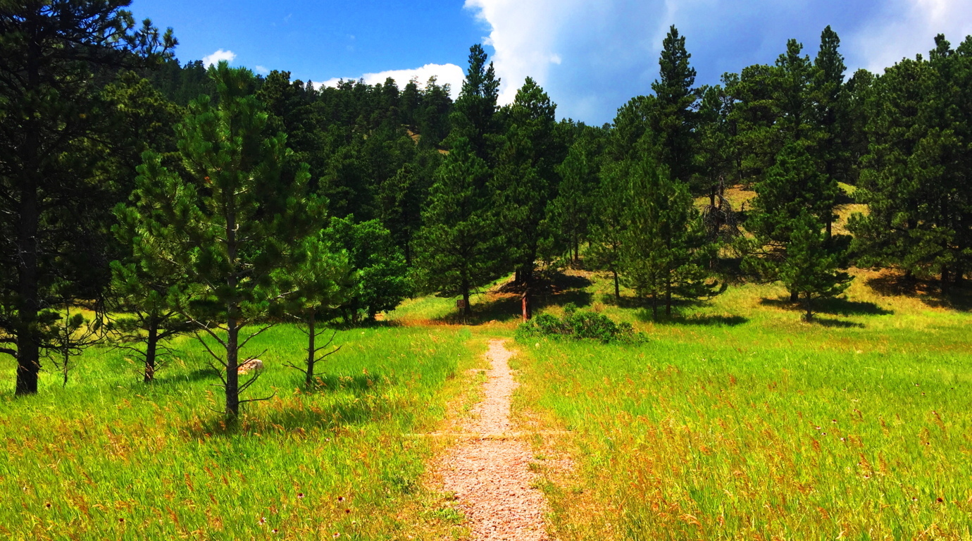 Black Hills Trail: Entering this trail is as pleasant as it gets. There are distinct and clear heights in front of you, with a breeze and swaying grass beneath spaciously assorted Pines.
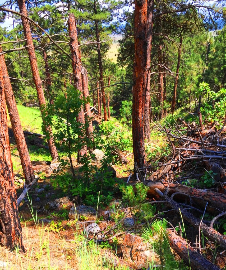 The path appears to be a modern work of Cub Scouts and campers from the last 100 years. There are no signs of the ancient stony paths found in Celtic heights, New England, or northern Colorado. The one factor that is entirely unique to this space is the level of quiet, if that is possible to measure. It is simply a denser quiet. Even the regular sounds of hawks or wild goats are not heard in these hills. It will make you more aware of yourself in return. Often times it’s a moment to say to yourself: “Well, at least I’m not in my office/in traffic/on-line/ etc etc etc. The Trail switches back a few times as you ascend a solid soil pathway through the Ponderosa treeline (Image/Left). As the hillside reveals itself, there are stones that begin to pop up, of a type I had never seen before. As the trail levels off near the top of the initial knoll, it begins to veer into the deeper woods, and boulders akin to what is found on the ledges of New England, begin appear. I have to admit that the ledges and boulders here were so ancient looking, so old, that I realized I had never seen this specific type before. Ancient Wyoming boulders are practically rust colored with orange and brown spots. (Image/Below/Right) This is very similar to the pattern on Alpine stones found in the heights of Mount Katahdin (Below/Left). Look at the Same rare spotted pattern, although they are very different colors.
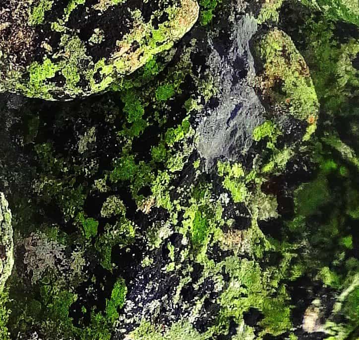
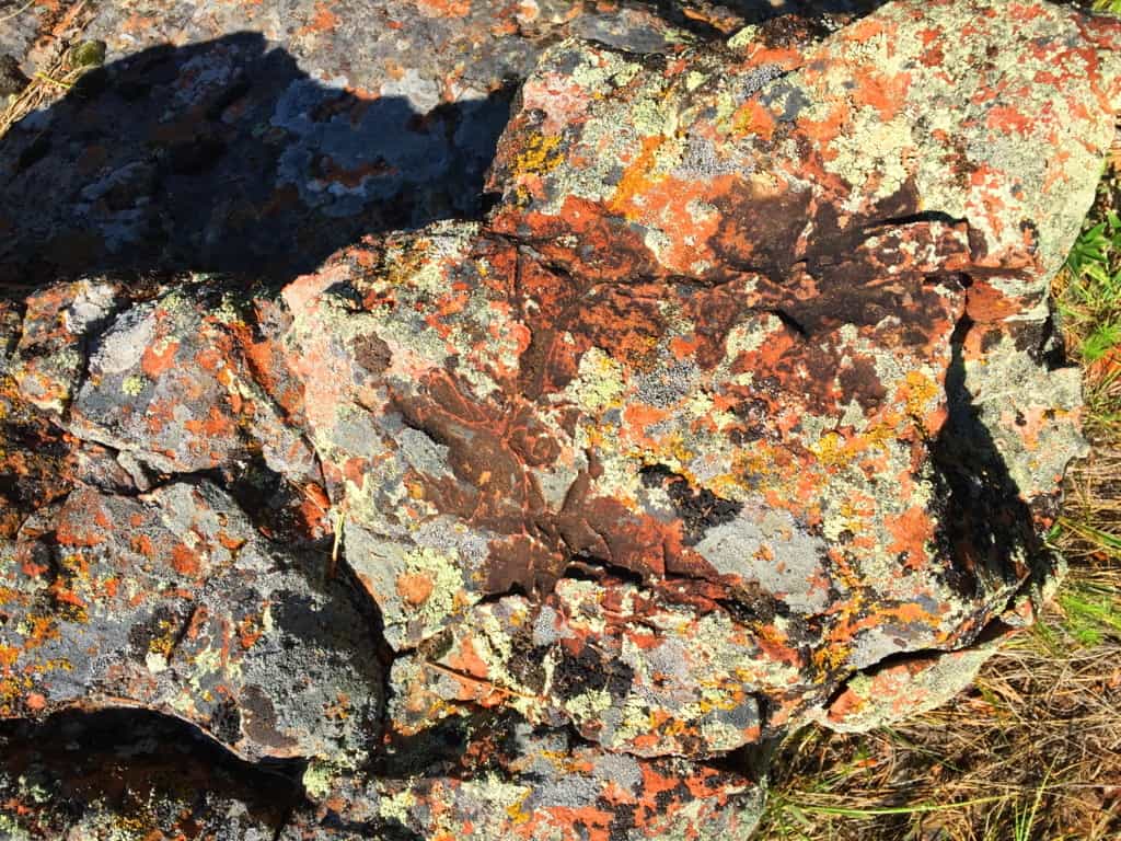 There are also boulders in auspicious vantage points throughout the early portion of the upper trail.(Image/Below) You can see cut-sections of ancient hillside stone, with a free standing boulder on the upper left corner in the image, in an advantageous vantage-point above, just like on New England ledges. Whoever put these boulders there are the first occupants of this land, before the Native Americans arrived.
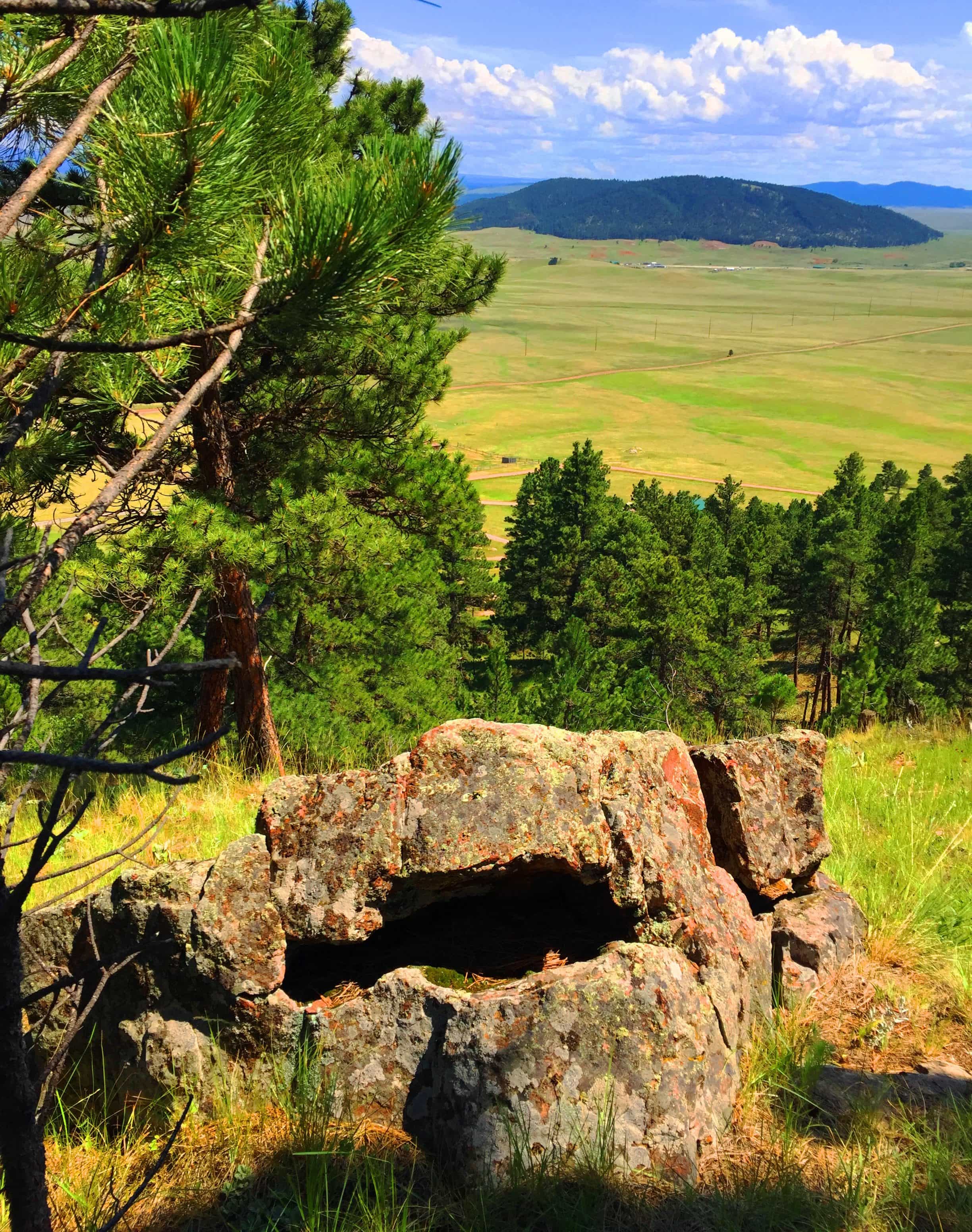
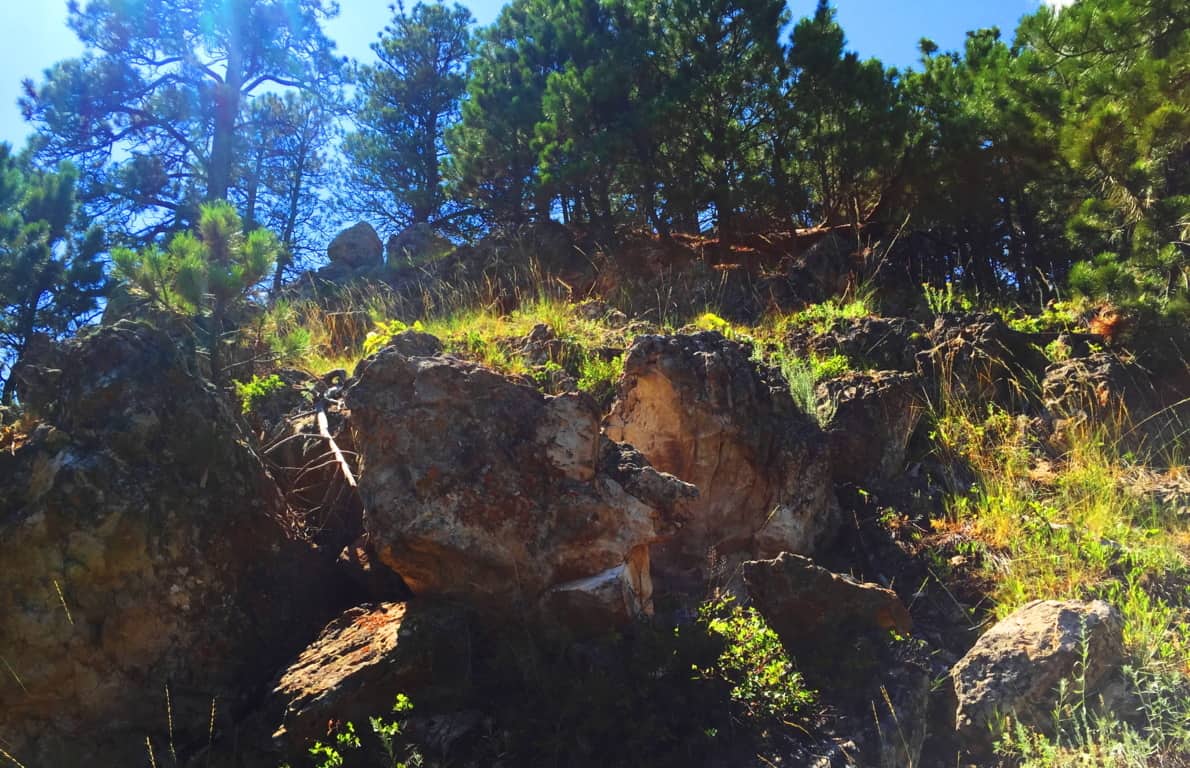 The places where the stones are cut, and stacked, on top of each other are most often the most beautiful views facing outward, not hidden in the forest. Again, this is so similar to Ireland and New England that it is nearly impossible to ignore. Look how distinctly the stone is cut and set in a fixture in the image below.
 The second third of the trail, the upper trail, becomes gorgeous forest. This is a beautiful stretch of trees and thickets, and there is a temptation to wander into it, leaving the path behind. I don’t recommend going off-trail on a first excursion, but with time, and more knowledge of the range, it might be possible some day in the future.
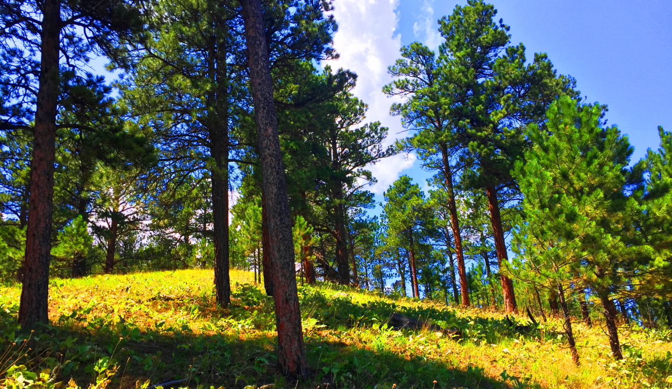
The upper vale in any range, whether it’s the White Mountains of Vermont, or The Berkshires of New York, are almost always a type of secondary dimension. You step through them, only to have them change as you go. Your perspective can change from ‘surrounded by pillars of reddish brown’ to ‘sifting through small shafts of milky-white limbs’; i.e: Ponderosa’s to Birch’s. This might be hard for a hiking layman to understand, but a particular grove can change the way you feel. The Ponderosa Pine grove (Image/Above) is a distinctly different feeling than the Birch grove (Image/Below). Harder still it is to comprehend for many beginners, is that forests, in this manner, teach us about our level of receptivity and perception. Imagine what happen if you chance to walk through 50 forests, or 100, in this lifetime. 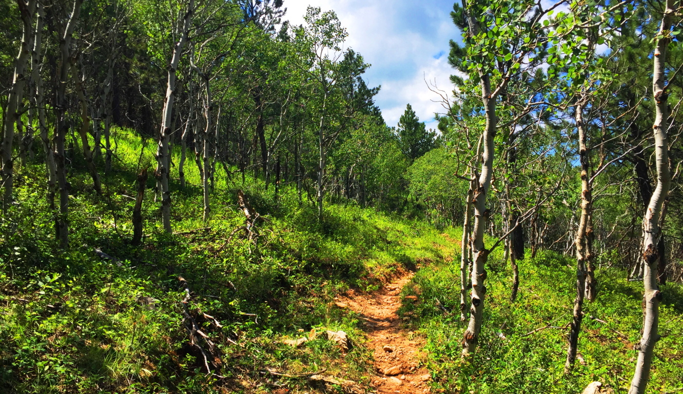 On the higher end of that receptivity is realizing and experiencing sacred zones. They feel beyond Time. Places where megaliths are found are almost always in accordance with this mystical feeling, and we are discovering through dynamic new anthropology that this is anything but wishful thinking. There are entire forests and ranges in New England and Ireland that have connective engineering throughout the entire landscape (See Cavan Burren National Park/Stonestrider.com). The landscape is literally stone-grafted to synergize the experience of moving through it. Most people, even in this age, just can’t get their minds around the idea that the entire landscape is a temple or monument, harnessing very real subtle energies. This particular trail in Wyoming is a chance to see the contrast between landscapes that are inundated with stone-linings, and those that are not, and what that might mean. Why is there not a single stone-lining in these beautiful small-mountains, while in New England there are enough Stone-linings to circle the Earth several times over? What does it mean?
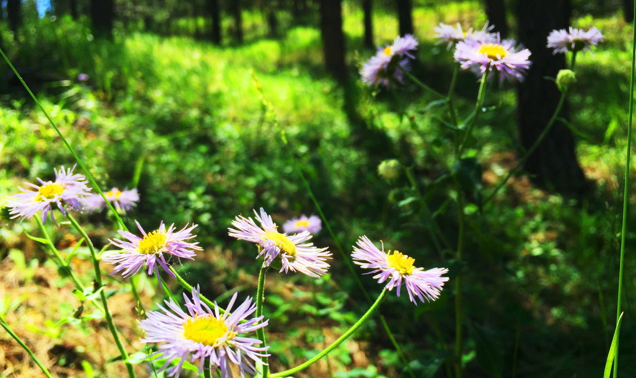
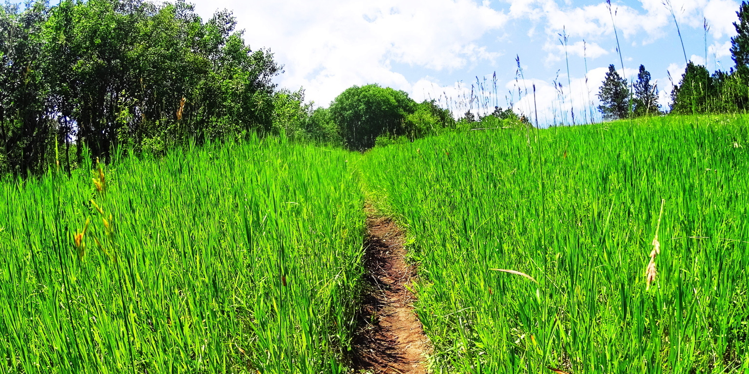 The trail here at Black Hills opens up into elevated fields of thriving grass beds within the glades, with absolutely no stone distinctions. You can almost picture an Arapaho Native materializing out of the woods, with nothing particular on his mind in this absolute tranquility. Prairie Asters emerge along the path, as well as what looks like a lavender Lonicera type flower. Entire fields of these wildflowers appeared across the next range, several miles from this spot, and everything about these beds indicates a vibrant, happy, and healthy zone.

The cover photo of this article, at the very top of the page, looks to be the objective of this Black Hills Trail. It’s a fine view across the valley. This is a place to sit down for a while. Impressively, the trail doesn’t loop back, it continues rolling on through several small Ranges to the north, perhaps as much as another ten miles after this 2.5 mile section.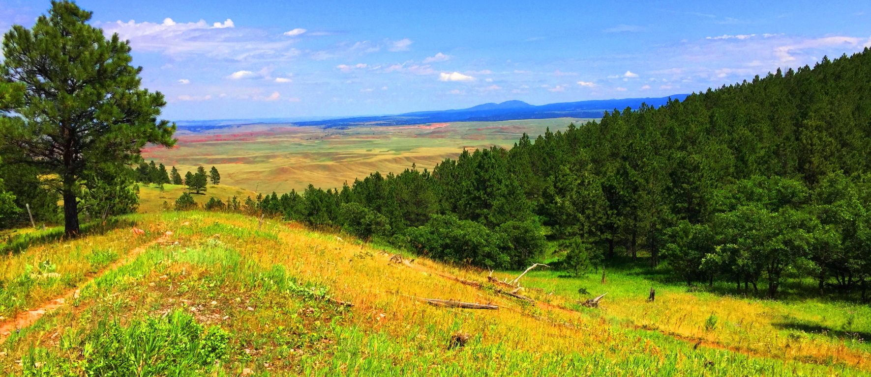
To exit the Trail, simply head back the way you came, and enjoy each ridge and the views they offer as you go.
There are places that are more intrinsically natural than others. Everything about Wyoming says “Don’t worry.” The Black Hills is a Trail that forces you to wonder how many of your problems are self induced. The peace in a place like this is so stunning that there is a cleansing of any spirit that passes through it, like a “landlocked baptism.” Landscapes don’t always have to reveal specific megalithic statements to be sacred. The land itself is at the heart of the ability to feel the sacred. It is entirely possible to see and feel the calm that the Native Americans felt for thousands upon thousands of years, and there are still ancient echoes of what was here before, written in the stone ridges. In a contentious time like this, Black Hills Trail is pure medicine, a regenerating tranquility that can take any modern confusion that you might have, and massage it into a cosmic calm so abundantly represented in the hills of Wyoming. Those who ignorantly accuse places like this of being “boring” are already drowning in a technological pool of hyper-urbanized poison. Wyoming is gorgeous, peaceful, mysterious, and gracious, with each and every step, and each step you take through it, is a step closer to your better-self. Black Hills Wyoming is part of the answer in this world, not a source of division; what more do you need to hear? Explore our world, and leave those that are trying to control and monitor every move you make, far, far, behind. Thanks for reading Stonestrider.com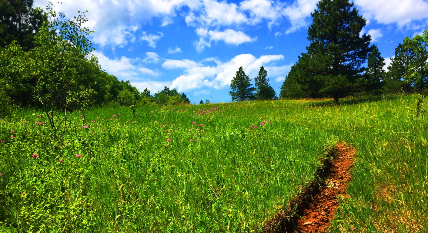
Rattlesnake Mountain
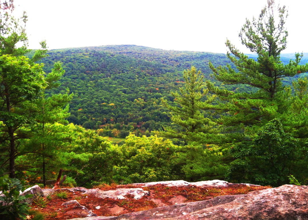
Location: Erving, Massachusetts
Elevation: 1,067 ft
Note: Running along the northern border of Massachusetts is a unique set of rolling “small-mountain” ranges. These elevations are too tall to be called mere hills, but too small to be known as full-fledged mountains. Rattlesnake Mountain sits in the heart of this range in the northwestern portion of the state, surrounded by similar small-mountain peaks in Monroe and Savoy to the west, with Watatic to the east. The woodsy entrance for the car park leading to the main trail at Rattlesnake Mountain is nearly hidden, just off Rt 2A, about 100 yards from Maple Ave, in the picturesque country-town of Erving.
The trail at Rattlesnake’ is essentially a 2.4 mile loop that broadly encircles a massive metamorphic rock ledge. Known as The Farley Ledges, this precipice is enveloped by trees, standing about 220 feet high, and about a mile-and-a-half wide, east to west (image below)…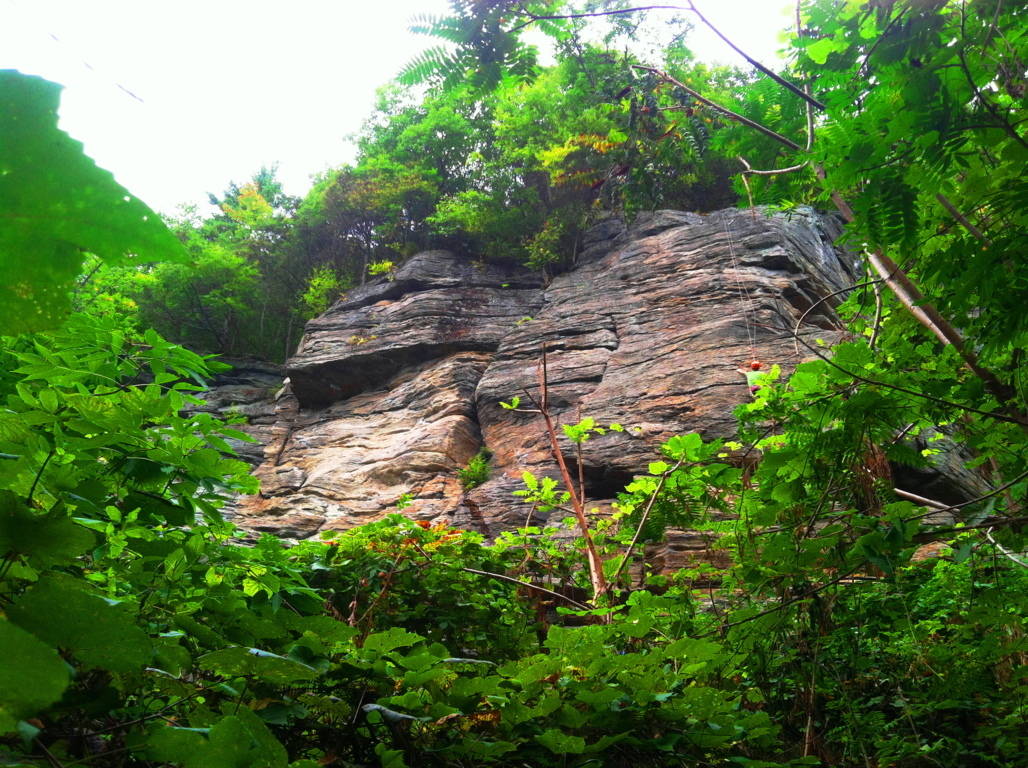 Rock climbers scale this ledge in a world all their own, paying very little attention to the boulders and stones that line the ground below. If they did pay attention, a closer look at these stones reveal something pretty amazing. Here at Rattlesnake’ there is a megalithic mystery that reaches deep into the heart of Massachusetts forests and mountains, a mystery that most often goes unspoken. Simply put, there are hundreds of gigantic cut stones which are measured and marked inundating the forest floor just beneath the ridge. There are pathways that run directly into this “stone playground” where various crafted stones sit (image below)…
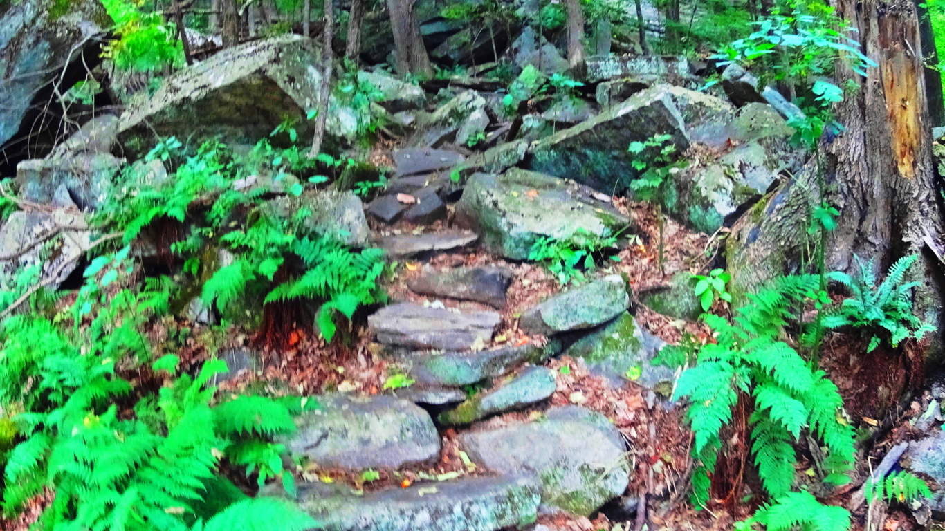 Other megaliths are fixed in some pretty curious positions in arrangements near the trail, winding like a display along the ledge (image below)…
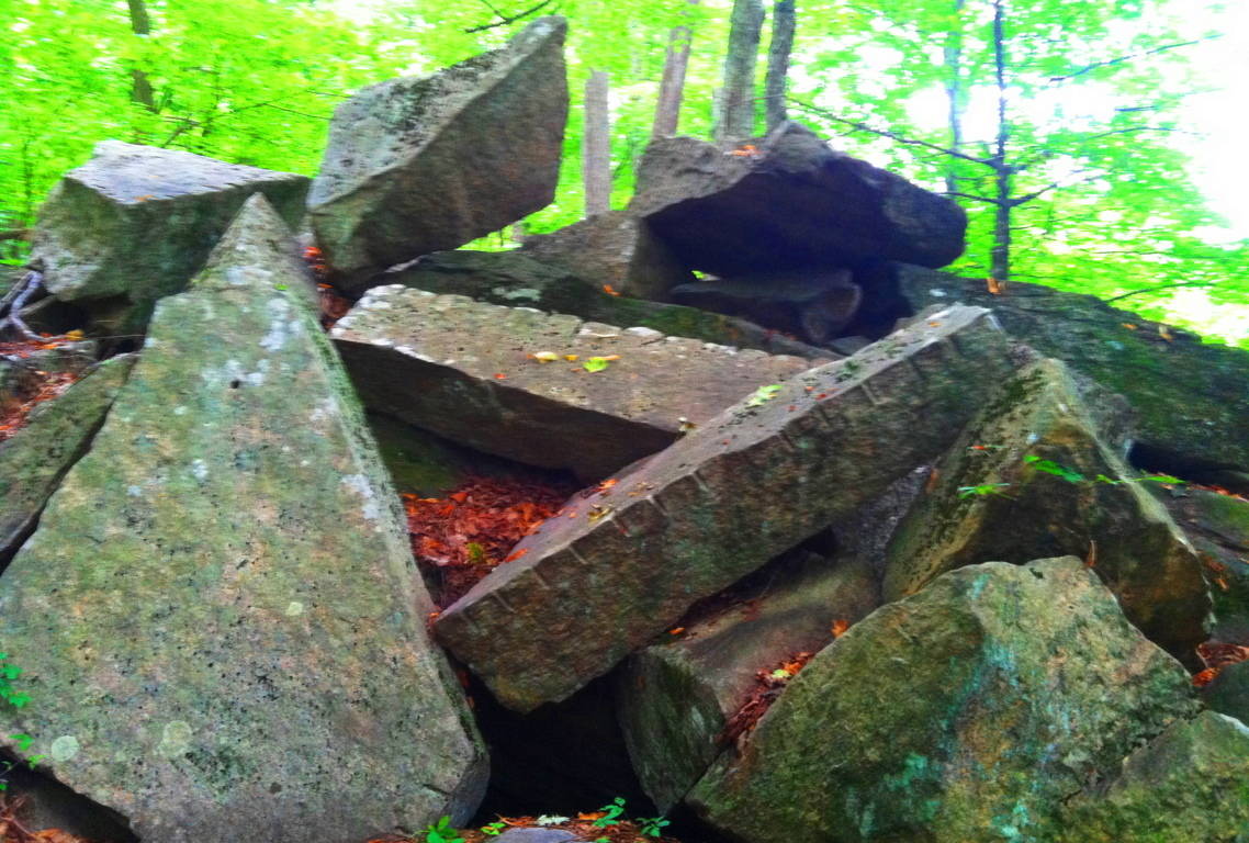 Some of the stones look to be placed in specific places, while others look to have been tossed about like giant toy blocks. The incrementation markings on the huge stones are not in inches or centimeters, they are some other form of measurement entirely. The image above is of two rather long rectangular pieces thrown into a pile at Rattlesnake’. Pieces exactly like this exist at the pass of Mount Bearnagh in Ireland (image below)…
 They also exist at Lynn Woods Reserve in Lynn Massachusetts (image below)…
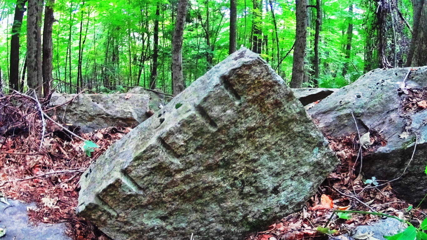
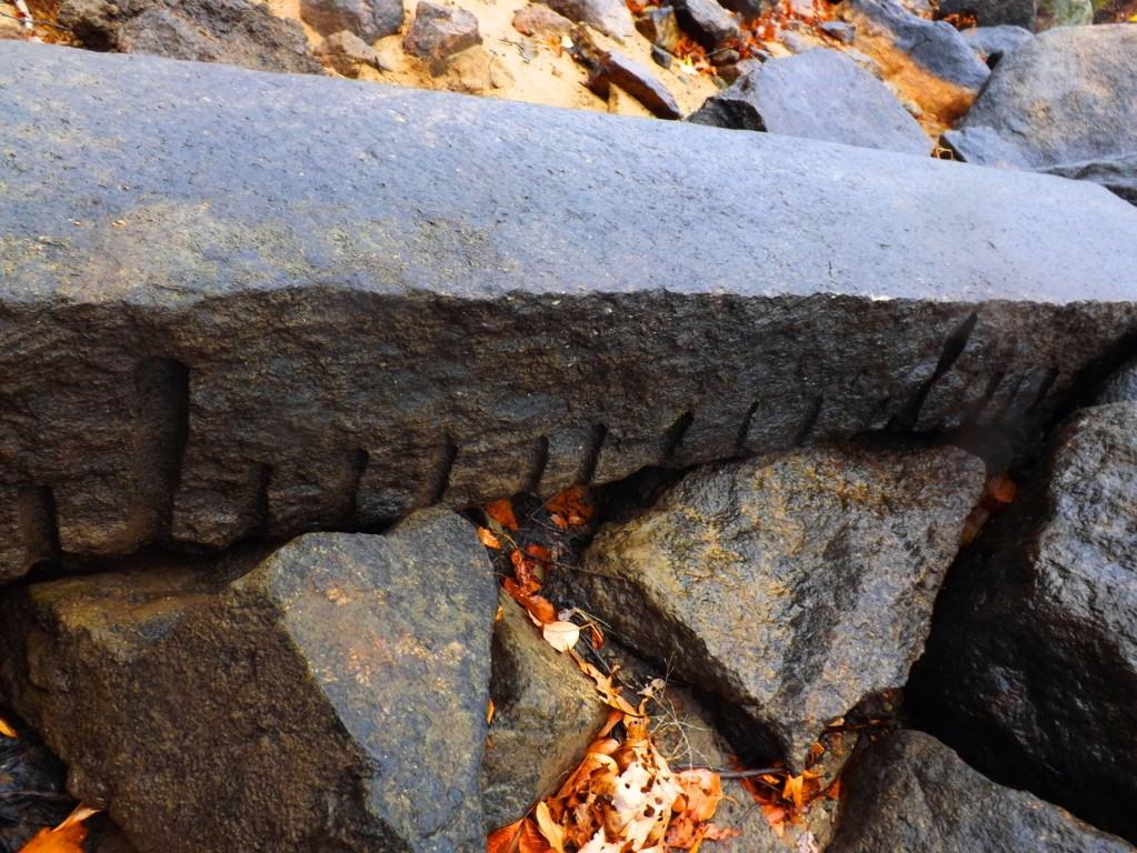 which is 40 miles east of here. Look at the incrementation on the stone in Lynn Woods; between the long marks are 9 short marks. What system of measurement uses increments of 9? And there are countless other places throughout New England where this specific type of rectangular piece can be found. As documented proof of these megalithic stones is slowly compiled, it becomes clear that our modern culture is built directly over what was once a megalithic culture. In old-growth forests and mountain ridges where houses have never been built the evidence for this culture still remains. And please remember, these stones are several tons each, if not more. Whoever cut and placed them, had the ability to do so, and without strain. Other stones beneath the ridge are smaller square pieces (image below)…
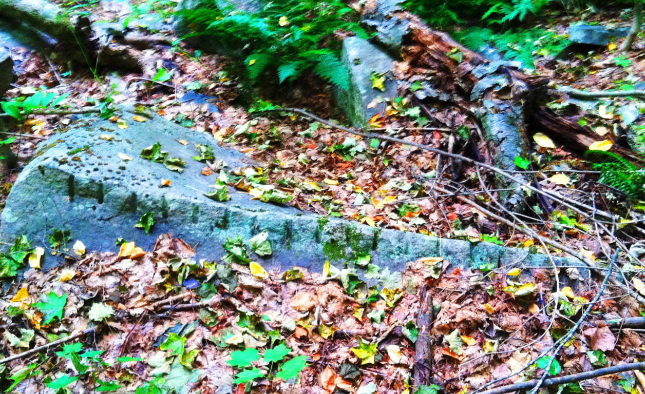
And more stones can be found here, some covered by countless seasons, or are partially entrenched in the earth. It becomes clear that someone literally went to work in this area, and was utilizing megalithic size stones the way a carpenter uses wood blocks (images below)…
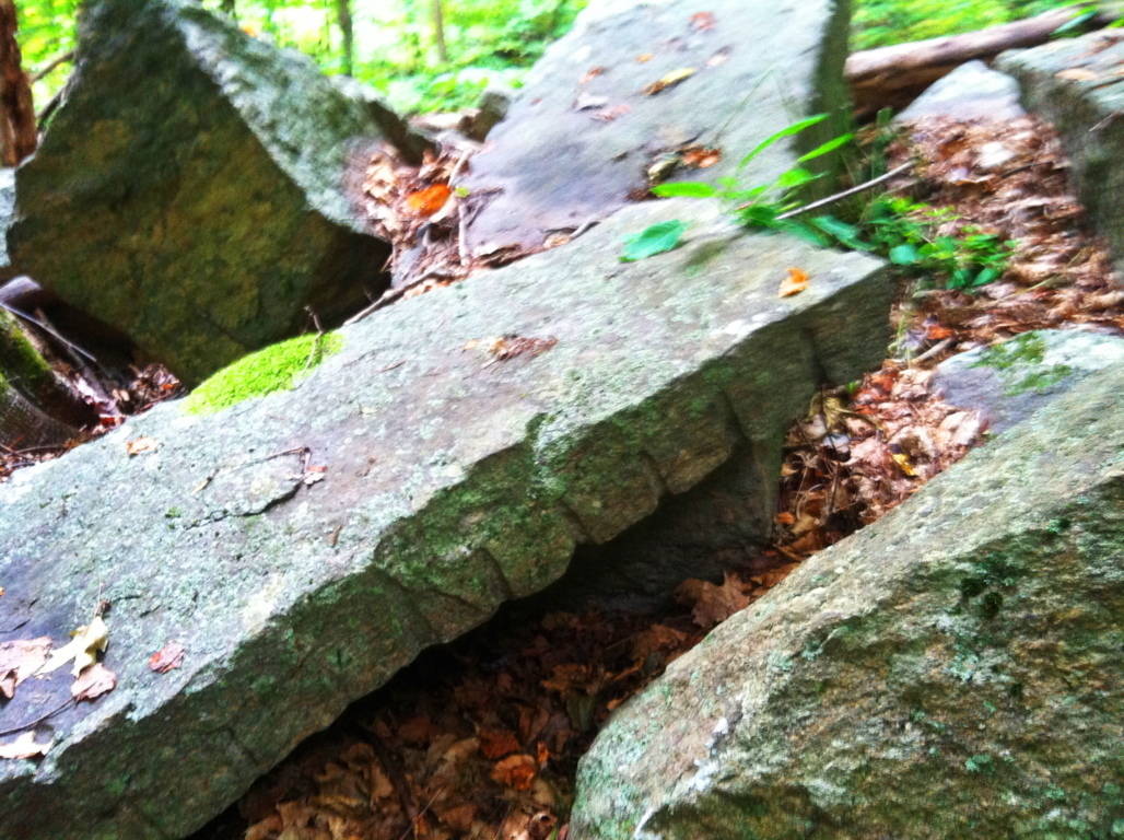
As you head east along the initial trail, passing by these monoliths and huge fixtures, there are other stones that emerge which are relevant to the patterns of megaliths in New England. The equilateral triangle has showed its face in stone in almost every deep woods hiking trail and reserve from northern Maine to western Massachusetts. Here, somehow fixed into a boulder, was a perfect equilateral triangle (image below)…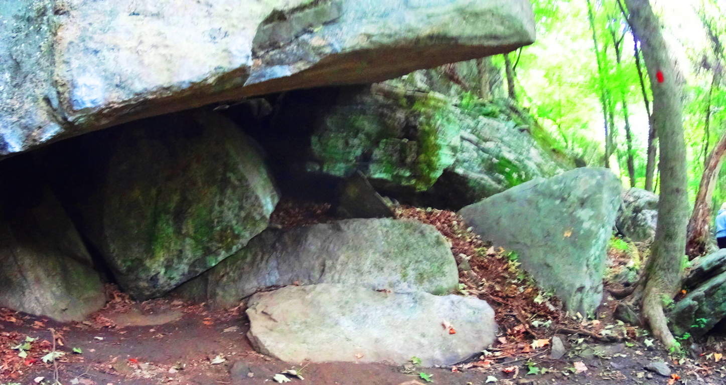 It is at the center of this massive fixture, with a cubicly cut stone to its left, and another perfect equilateral to its right. All of this is under a rock precipice serving as a roof which looks to weigh about 100 tons. The overall symmetrical setting is above (image above), with the central equilateral in the middle, sitting on a perfectly leveled shelf of stone. Please understand, this stone is part of the boulder beneath it; it was carved out to protrude specifically in this fashion. I could not move it. Here’s a closer look (image below)
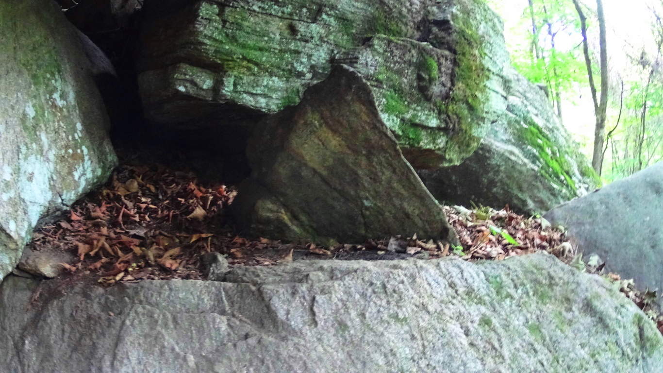 Just a few feet up the trail is another fixture with a equilateral triangle that is guarded by several massive stones. This stone is not only an equilateral, but is a three sided prism that is connected to the boulder beneath it. (image below)
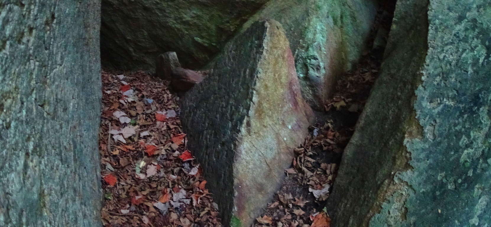 In the woods of Upton Massachusetts there are granite cut equilateral prisms attached to the boulders beneath them (image below), extremely similar to these stones found at Rattlesnake’.
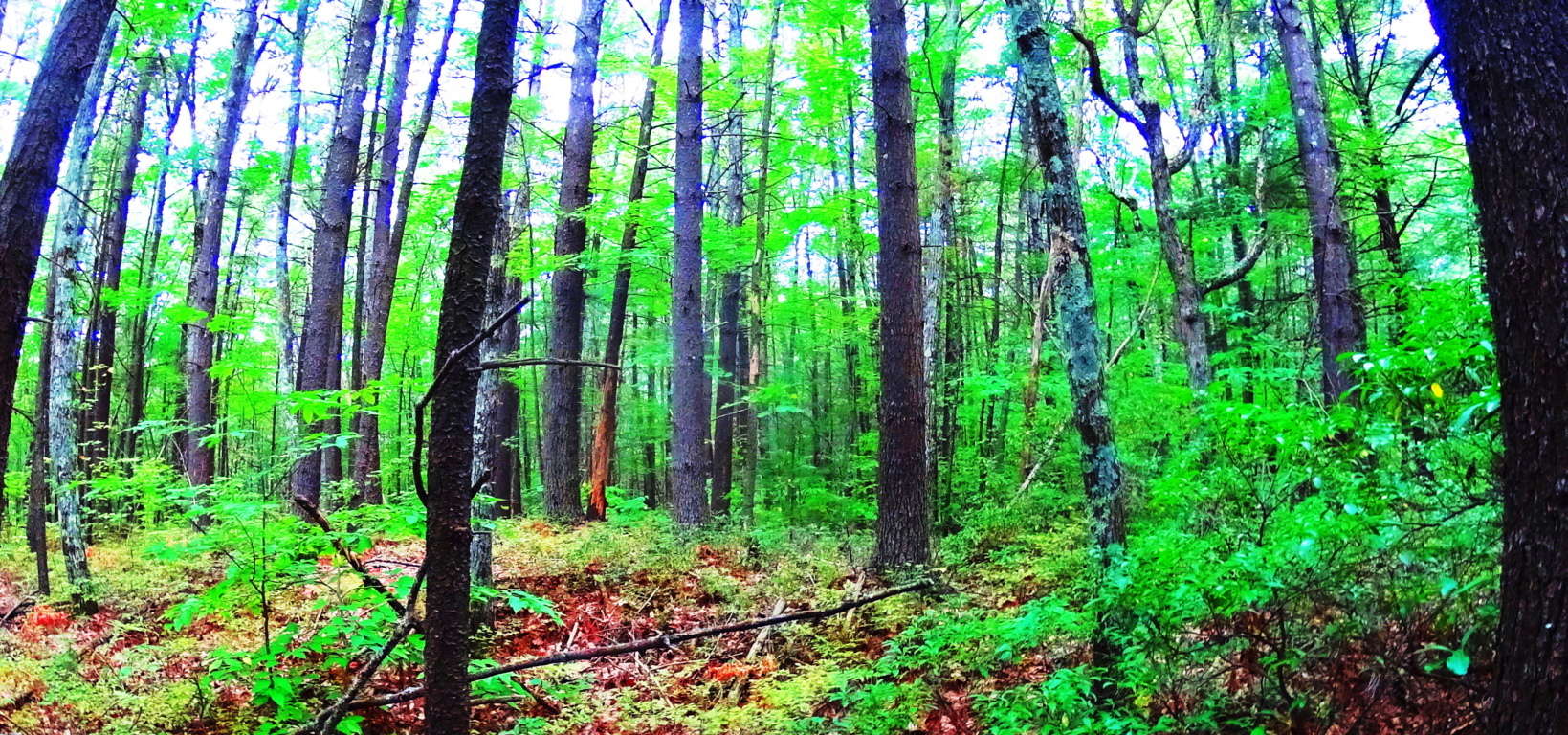
 I believe the Triangle is the megalithic “calling card” of the ancient culture that once dwelt in the hills of New England, just as the Spiral was the calling card of the megalithic culture that once dwelt once dwelt in Ireland. If you recognize this, then you will realize that New England, in its own way, is a landscape that is just as mythical and beautiful as those traditionally endeared in England, Ireland, Scotland, and Wales. When you hike through these small mountains, you’re hiking through zones of ancient mysteries yet to be solved, but can be seen right before your eyes. The trees of woods are spaced amicably, with small groves of baby pines and birches emerging in various areas. Enjoy these beautiful groves (image below )…
  With all of this existing right infornt of you, it can be hard to get back to the natural beauty of the trail ahead, which is another wonderful aspect to hiking the forests of New England and Rattlesnake Mountain. As you step away from these mysterious alters beneath the grand ledge, continue east. After about 1/4 mile you will come to a stream rolling down the mountain from above (image below).
 Turn to follow this stream upward, as you are now on the eastern extremity of the trail (image below).
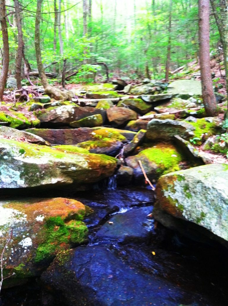
This waterway is so similar to Celtic scenes that you might find at Tollymore Forest in Ireland, or Killarney National Park. The rocks are strewn over the flowing water, with glowing moss beyond. Following the waterways clears the senses and improves your “sound palate” with the soft trickling and smooth rolling of water over stone. This consistency of sound eliminates the sensory overload we experience in our daily lives, which have become controlled blasts of commercial intrusions. One walk along these streams can clear your head for days. Continue up the incline which follows the stream until the trail crosses over the water, to left, at the top of the hillside. The trail continues into an elevated old-growth forest with a classic New England blend of Oak, Maple, Pine, Beech, and Birch trees. Looking northward this forest continues all the way into Vermont.(image below)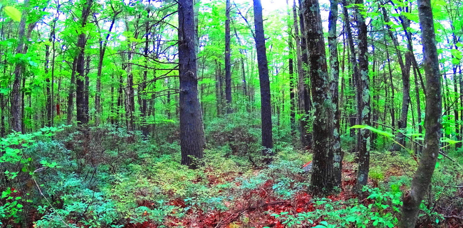 Continuing west on the elevated trail there are minature ledges with tiny pillars creating a tiny cavern on the underside of the precipice (image below)…
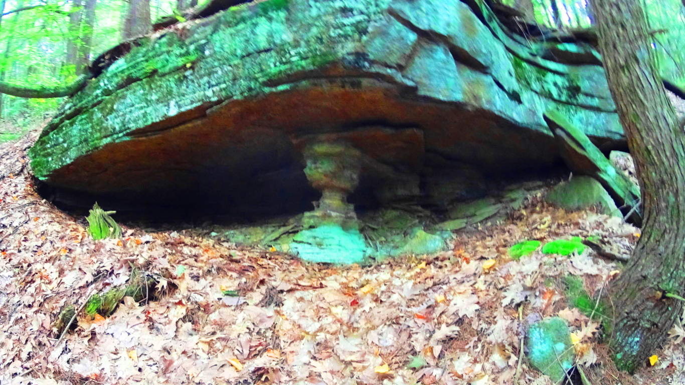 At Cavan Burren National Park in Ireland, where there are some of the most astounding Celtic megalithic monuments in the world, there are also notable stone ledges with the small pillars creating a cavern beneath the tiny granite ridge (image below)…
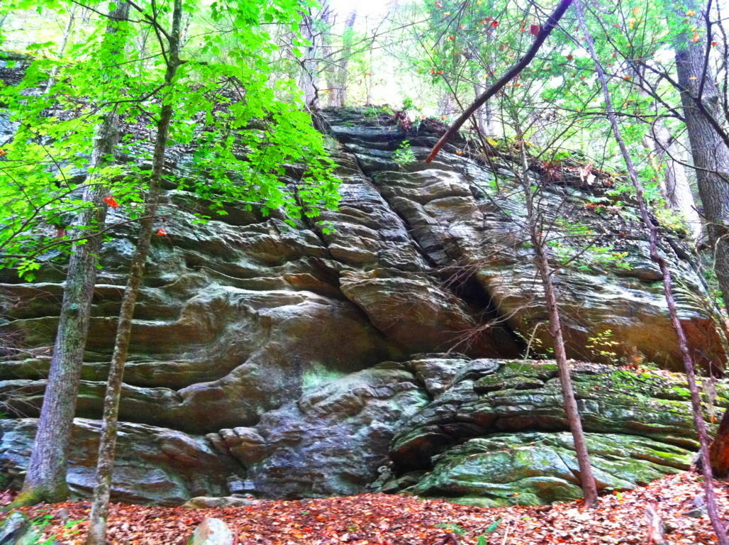
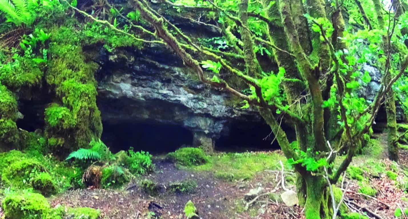 After passing these curious small pillars the trail continues west for about a mile, where other large flat cliffs emerge to the north. These gigantic shelves are layered in loose parallel shafts for 50 to 100 yards each, at about 45 feet in height. (image below)
In some places there are small standing stones at the edges of these small cliffs (below)…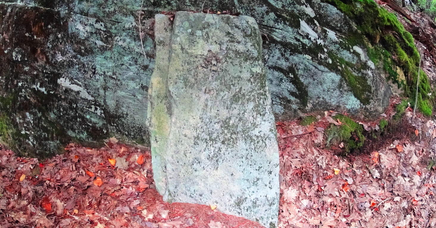
A similar stone in the historically megalithic town of Upton stands, just like this stone in Rattlesnake’, along a large stone-lining near the ancient Upton Chamber (below)…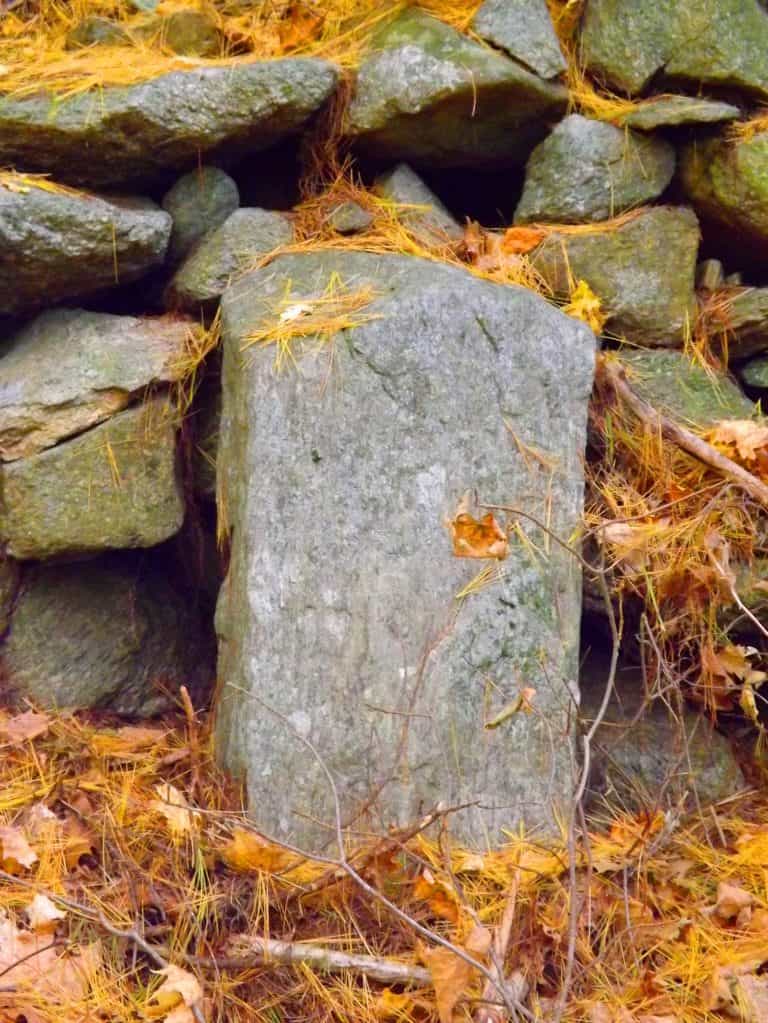
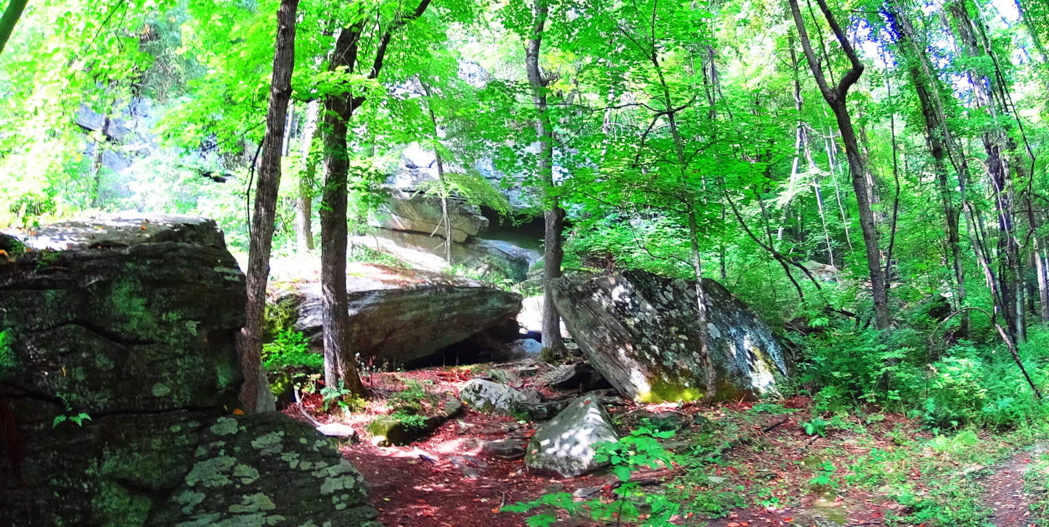
Keep in mind that these are not “small” stones, they are cut and crafted granite pieces that go as far into the ground as they are above; and they are perfectly squared. They are clearly a cultural marker of some kind created in antiquity. You will continue to follow the trail west until it turns left again, towards the western edge of the Farley Ledges, where the best lookout of the trail is found after about another 1/4 mile.  The woods on this western edge of the trail are massive shelves and boulders overgrown with classic New England Fauna (image below)…
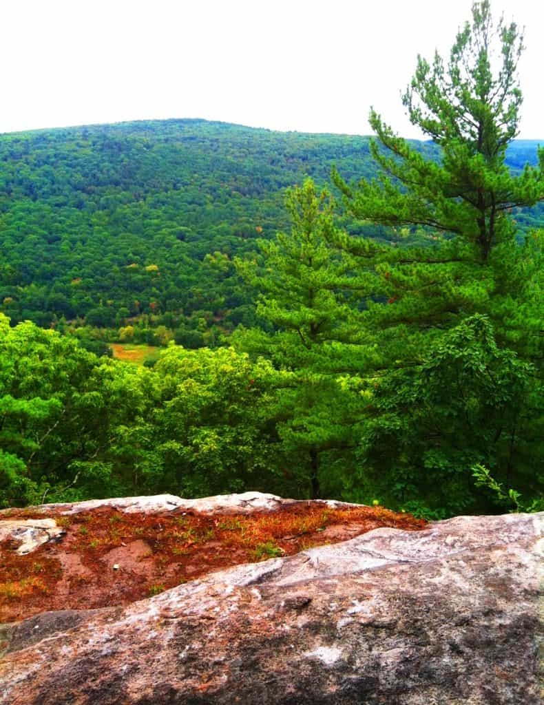
 At the western extreme of the trail, over looking Route 2A, is the southerly view of the heart of Massachusetts (image below)…
After taking in this view, the last portion of the loop descends back along Farley Ledge to the east. There are miniature canyons below, and gigantic granite walls slicing through the hills (image below)…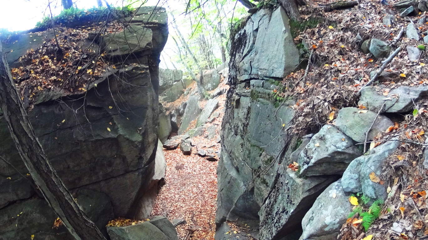 You will eventually come to a lower crossing of the stream at the eastern edge of the trail, then head back down to the megaliths below at Farley Ledge.
Rattlesnake Mountain is yet another example of classic New England hiking that combines practically magical megalithic statements in the forest and mountains with a pristine hiking experience. Time after time, forests and mountains of Celtic and New England places reveal a related megalithic mystery yet to be acknowledged by so many academics. Rattlesnake is clearly one of these sacred places, and it will grant the hiker a vision of something miraculous, something which is calling out to us from a culture that left its mark in a way that will never fade. You can touch these signature stones yourself, see the size and scope of them, walk the trails, and simply wander right into the hallowed wonder of it all.
Mount Katahdin
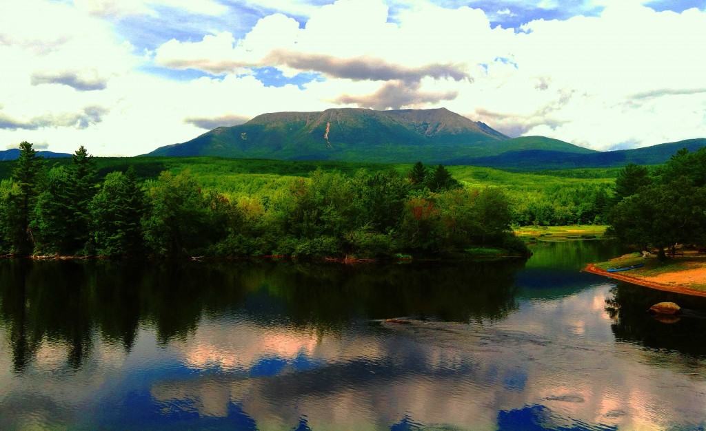 Location: Baxter State Park/ Millinocket, Maine/USA
Elevation: 5,267 feet
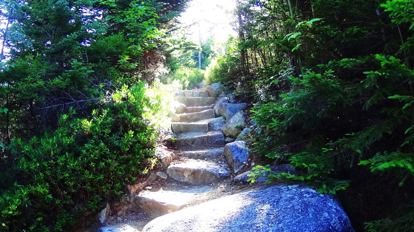
Note: The Penobscot Native-American tribe that once lived in this region referred to this mountain as “Katahdin”, which means: “The Greatest Mountain”. It’s expansive natural reserve is protected by the State of Maine as Baxter State Park, inclusive of incredible rivers, rapids, high mountain streams, and cascading waterfalls cutting through one-hundred miles of Appalachian forest. Hiking Katahdin is a multidimensional experience with marvelous variations in the fauna and stone while ascending.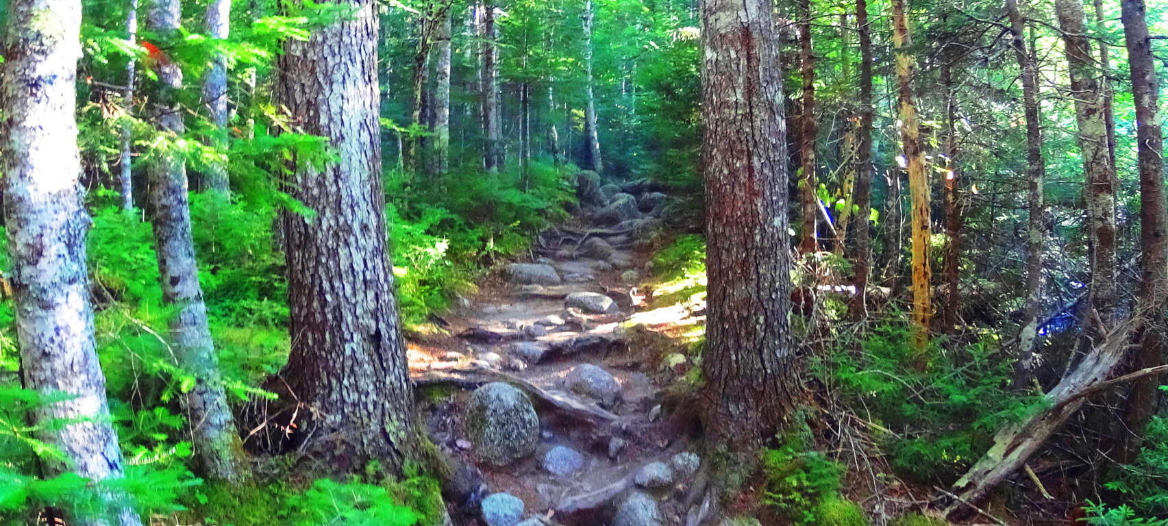 I followed the ‘Katahdin Stream Trail’ on the western face of the mountain, which requires a parking reservation and 7 a.m arrival time, easily made through Baxter State Park Office. The initial portion of ‘Katahdin Stream Trail’ follows a beautiful and wide rocky stream, with grand free-standing boulders guiding the water that rushes down the mountain. Ancient works of masonry appear in unique stone pathways fully enclosed by beautiful Pines and Birches. Some steps are refined and delicately thin, while others are wide and loosely fit, with blatant cuts and incisions, a full half-mile above ground level.
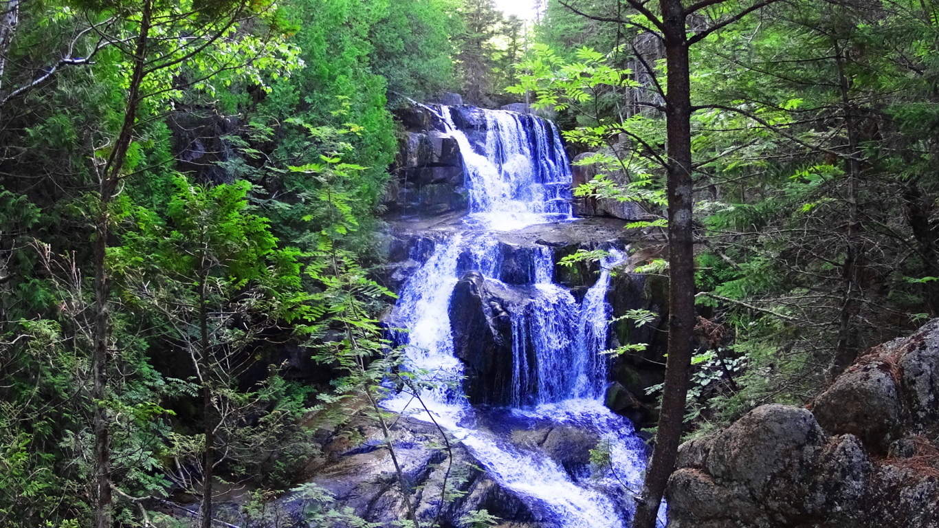
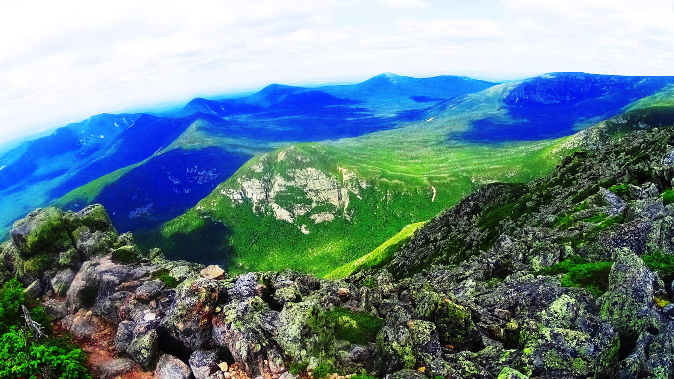
 A spectacular waterfall can be found about an hour into the hike. The necessary level of skill increases after the waterfall, where the trail mingles with dried stream-beds and stacked boulders. From here, branches and roots surround the trail increasingly, and it is necessary to begin using climbing techniques. The terrain continues in this way for roughly another hour before breaking the tree-line, and encountering another major challenge. Above and beyond the tree’s is a venerable wonderland of massive rocks and boulders, lining the last ledge to the peak like a giant’s pathway. Free-climbing is required in order to work steadily along the massive ridge, weaving between and over colossal boulders sitting almost a mile above the world. To both the left and right of the boulder-trail the valleys below unfold like a brilliant blanket with peaks to the edge of the skyline.
 The pine trees below undulate and sparkle with a static electricity when the Sun is shinning, and all of New England unfolds before you.
  Steadily climb through the boulder-trail following the white-dot markers, and it is roughly 45 minutes to an amazing peak.
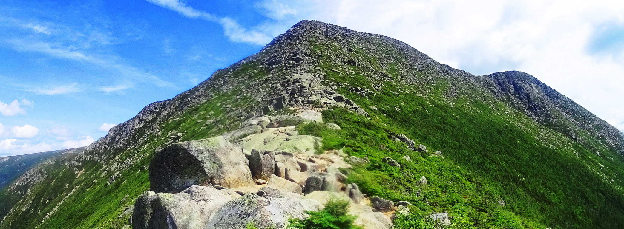 The Katahdin peak is a magical collage of unique dark granite colors combined with Celtic looking green moss, and interlocking stones. There are anthropologically notable standing-stones unlike any I have ever seen on this enchanted plateau, pointing and aligning to peaks to the west and east.
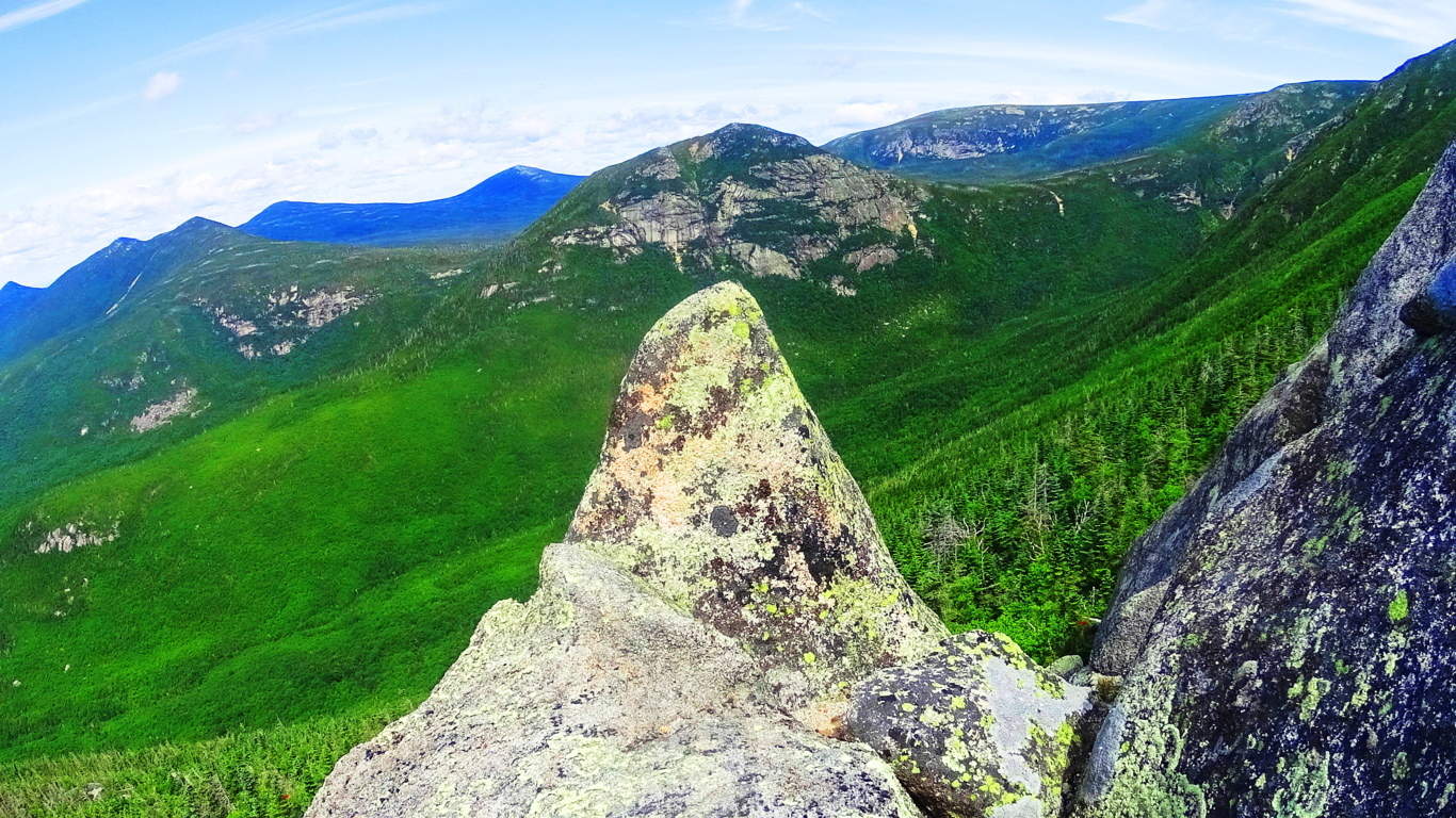 Some standing stones include signature fixtures, such as miniature counterparts supporting the front facade and drawing attention to the work.
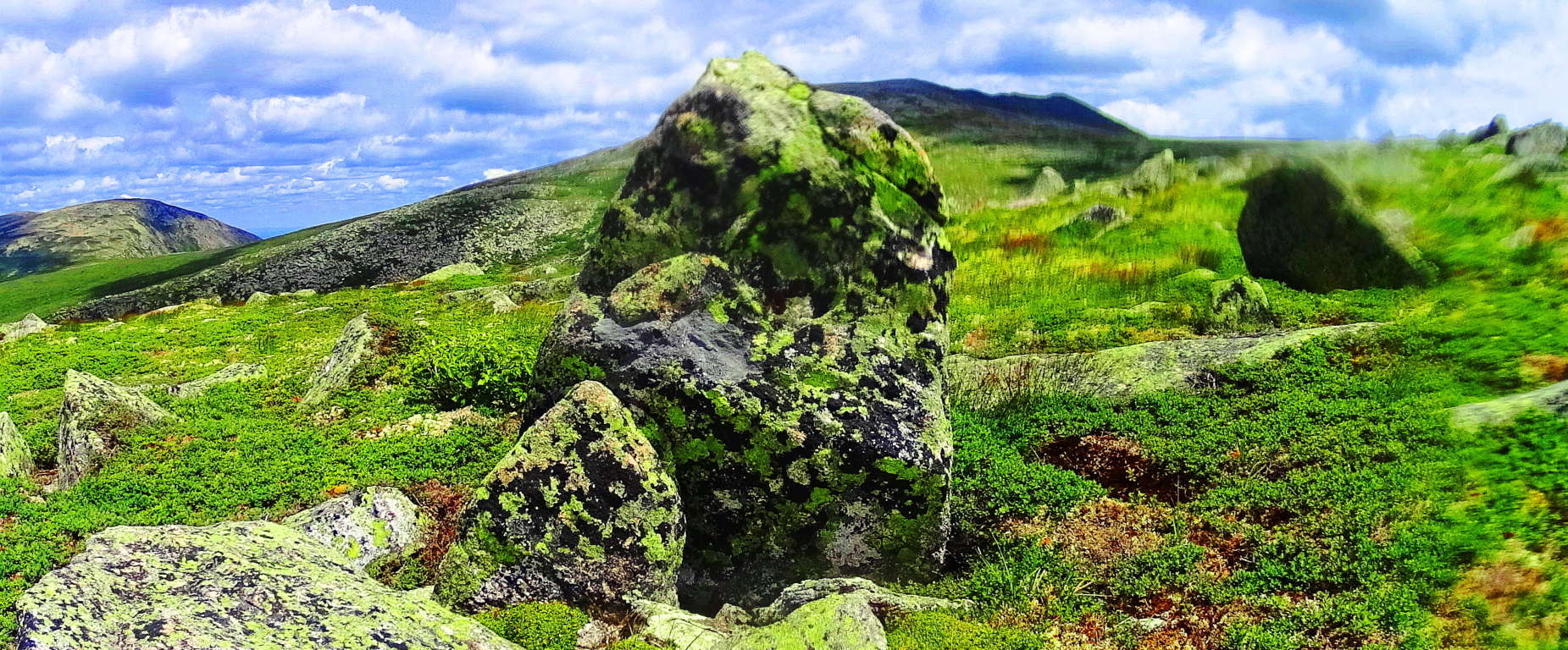 The entire elevation is covered in this unique moss so similar to the heights in the Mourne Mountains of Ireland, the Cornwall coast of England, and gritty heights of Glencoe Scotland. This is one of the best hiking experiences in all of New England, and should be experienced by all sincere nature lovers and ancient culture enthusiasts.