The Grand Canyon

Location: Grand Canyon National Park/Arizona/USA
Elevation: 6,804 feet above Sea Level
Depth: 6,093 feet to the base
Note: The Grand Canyon isn’t just one of the biggest chasms on Earth, it’s a place to mark the phases of the world. Let yourself imagine an earlier phase of History, a phase when a troop of Native Americans of the Arizona desert plateau , perhaps Hopi, Navajo, or Hulapai, are slowly making their way across the high plain. They are going back to their Garden of Eden, to the bass of the Grand Canyon. The approach starts many miles away, through broad Plateau’s brush, and surrealist cloud cover.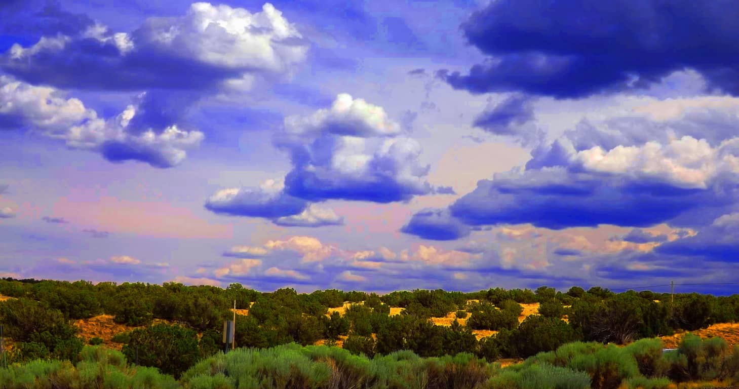 They make their way back to the beginning, through the Coconino Forest, and along the rolling hills at the edge of the desert.
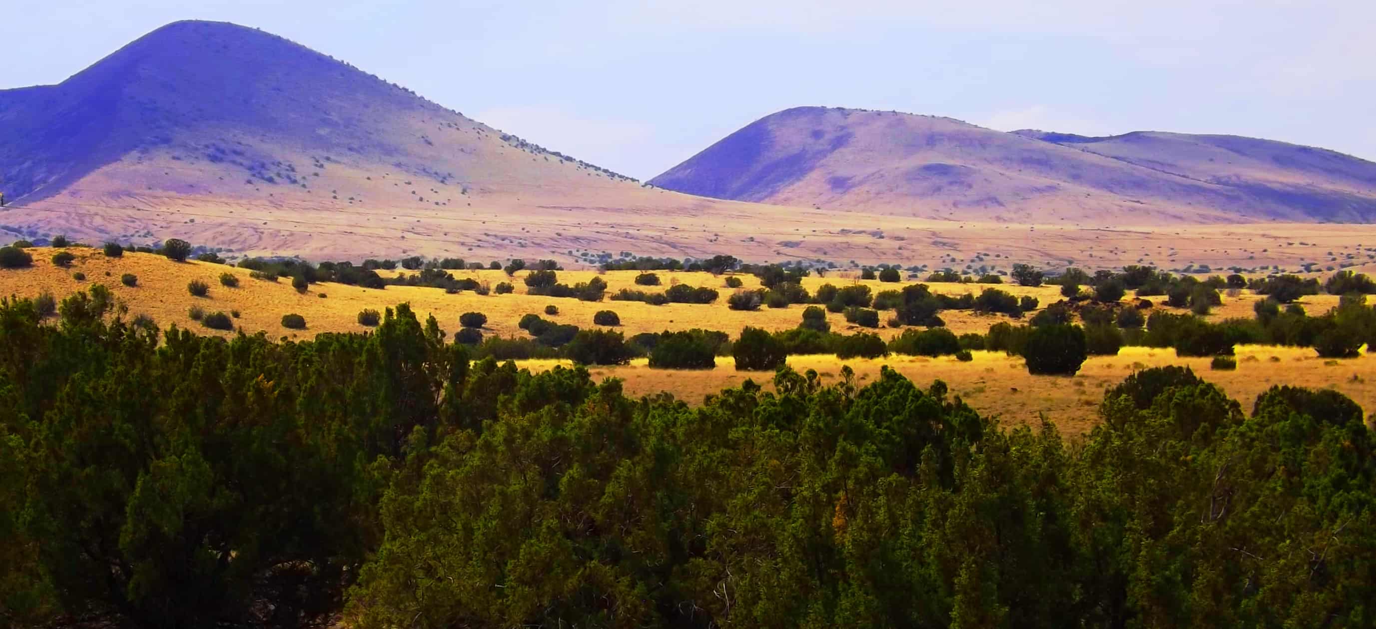 They are walking in, taking their time, without even an ounce of fear. The Hopi, keenly aware of the stars, observed that it is time to go back, to descend into the The Canyon’ and celebrate the origin of their people, a people they believe literally emerged from beneath the base of The Grand Canyon, once upon a beautiful time. In sandals, or even bare feet, they arrive at Grey Mountain…
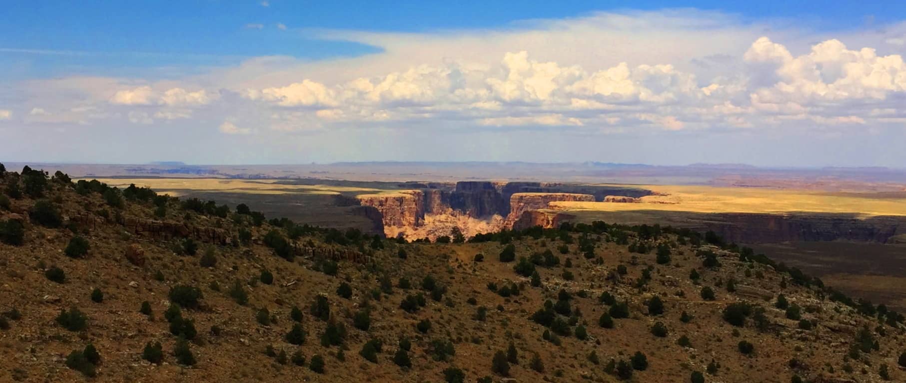
 Perhaps after spending the night at the base of Grey Mountain, making a fire and eating, they continue into the region of canyons. The landscape becomes a waking dream. They pass by a smaller Canyon to the east (Little Colorado Canyon/Image Below). The beauty of that Canyon is enticing, with a massive cloud hovering above, lending the area shade, where no other shade can be found for perhaps dozens of miles.
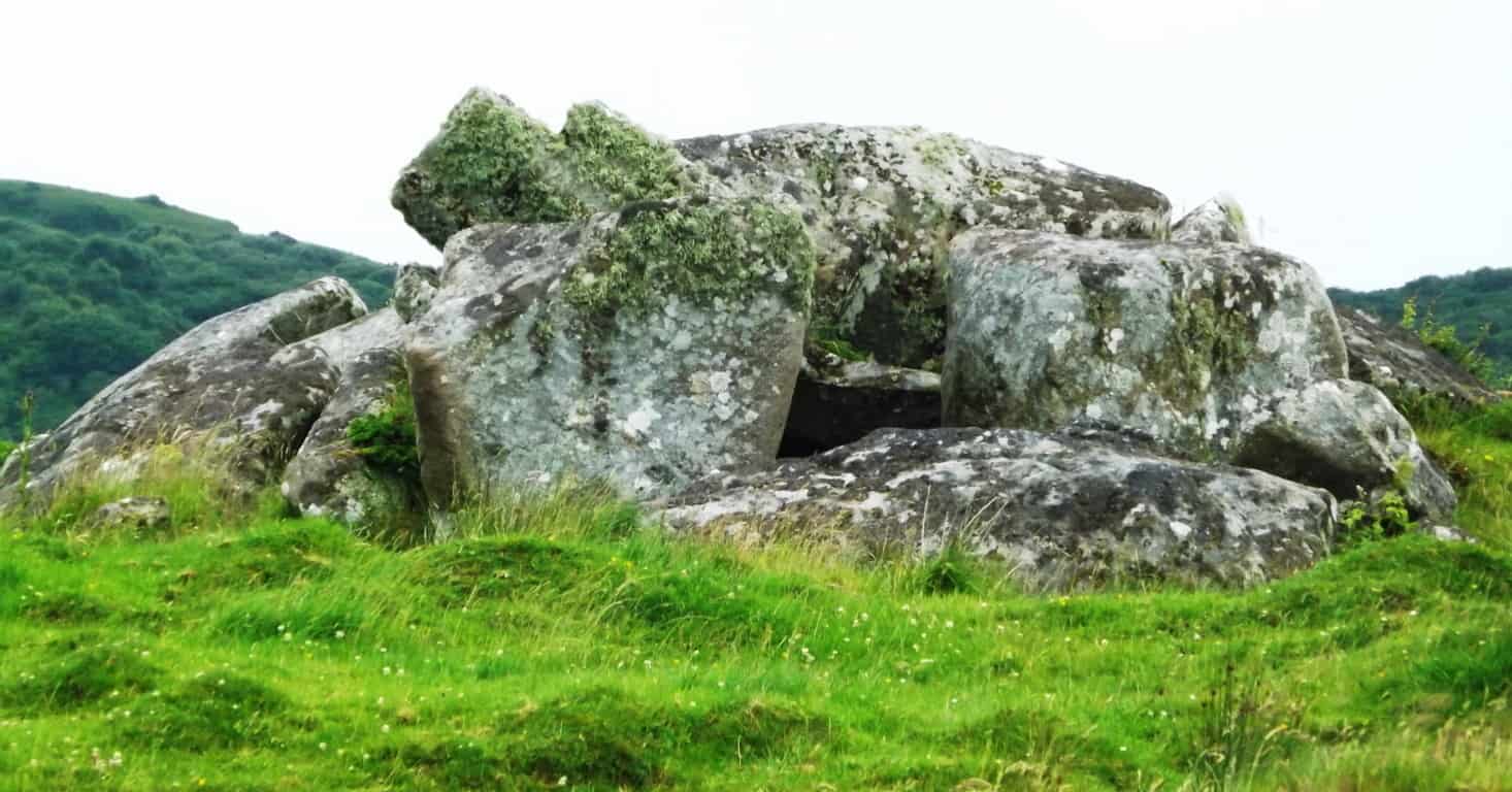
 Out among these mountains and small canyons are megalithic cairns which look to have been constructed specifically with flattened boulders, very similar to structures in Ireland. Take a look at one of the huge layered cairns that sits directly in front of, and parallel to, Grey Mountain here in Arizona (Image/Below/Left). Now take a look at a cairn in Kilclooney Ireland that sits parallel to a small mountain (sacred zone) in County Donegal (Image/Below/Right). Cairns in Ireland are estimated to have been constructed roughly 4000 to 6000 years ago, and by the look of this desert cairn, it may very well have been constructed in the same early period. These structures are both dilapidated, but it is clear that the original condition of these cairns were once much more orderly, and certainly served a specific function. The overall idea to consider by referencing and comparing megaliths is to realize that a similar Megalithic culture did exist in the high Arizona Desert, many thousands of years ago, and we should acknowledge this.
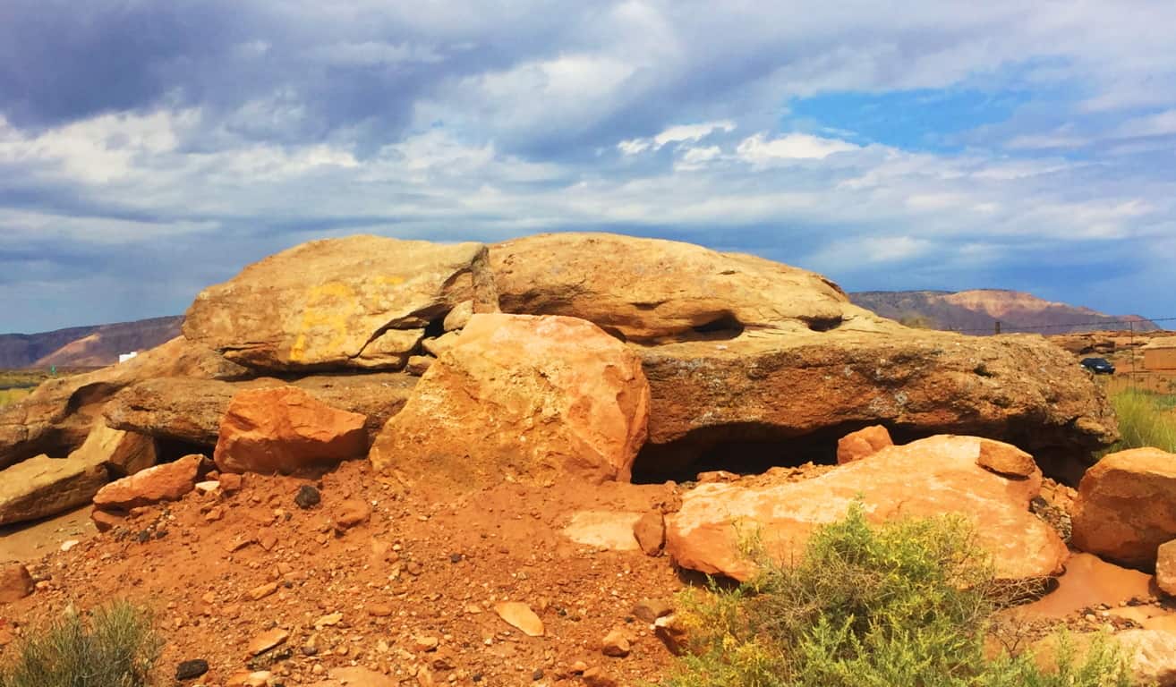
Continuing their journey, the natives would’ve drifted ever closer to the Kaibab Forest, silent as ghosts. They wade into the trees and brush, where they rest in the shade, and watch a storm-cloud approach, like a slow-rolling blessing from above.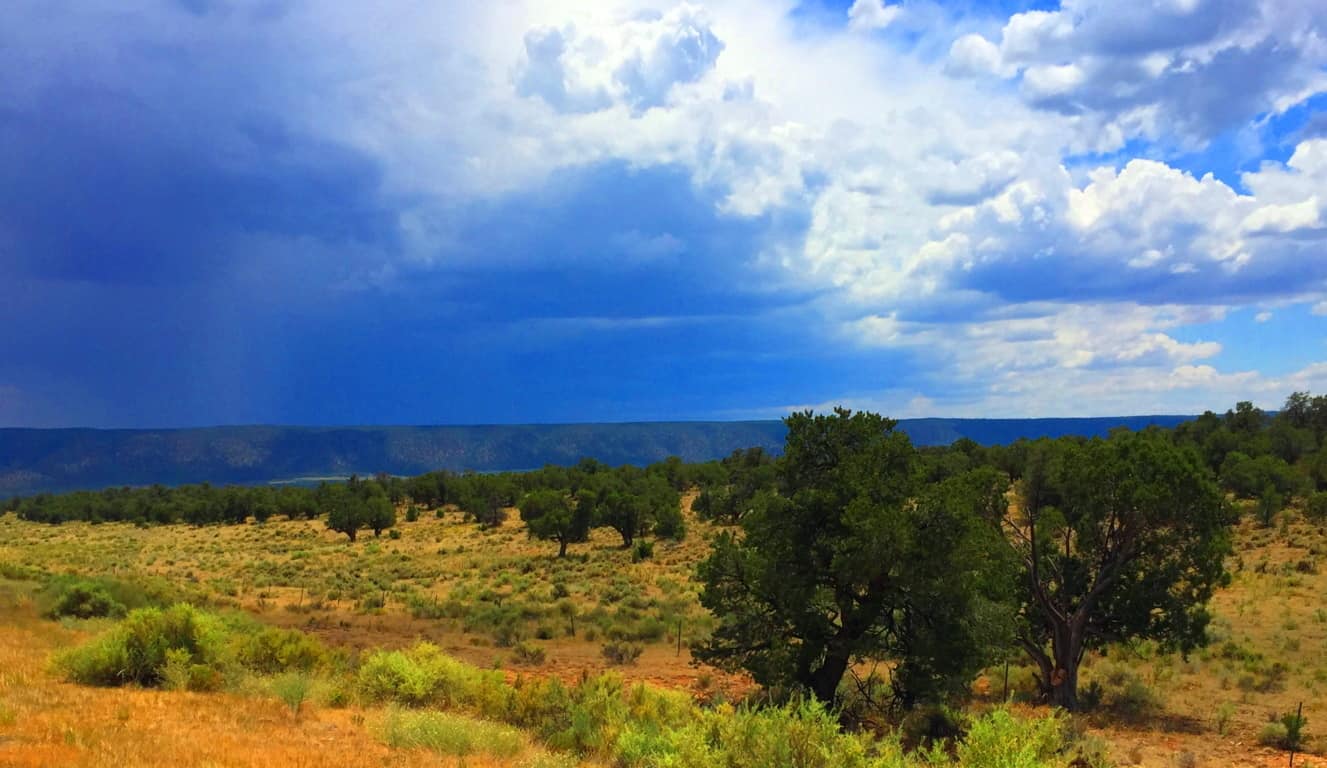 The brush becomes glades of tall pines, as the terrain rises slightly. The absolute lack of humidity topples many of the trees, half burnt into the ground, while surprisingly, there is a somewhat miraculous amount of greenery as well, which would be an incredibly welcoming sight after passing the open desert.
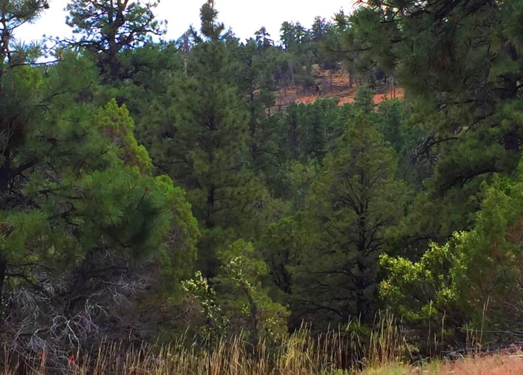 They breach the tree-line after a few days, and like a green-curtain pulled back, the Canyon is suddenly revealed. It is astounding, to say the least. This is the naval of the world; the center of everything; the most sacred place; and what is now known to us as the South Rim of “The Grand Canyon”. The Hopi never took this stellar scene for granted. Perhaps they would’ve camped and rested here, watching the stars for the evening, before finally ascending into the sacred place.
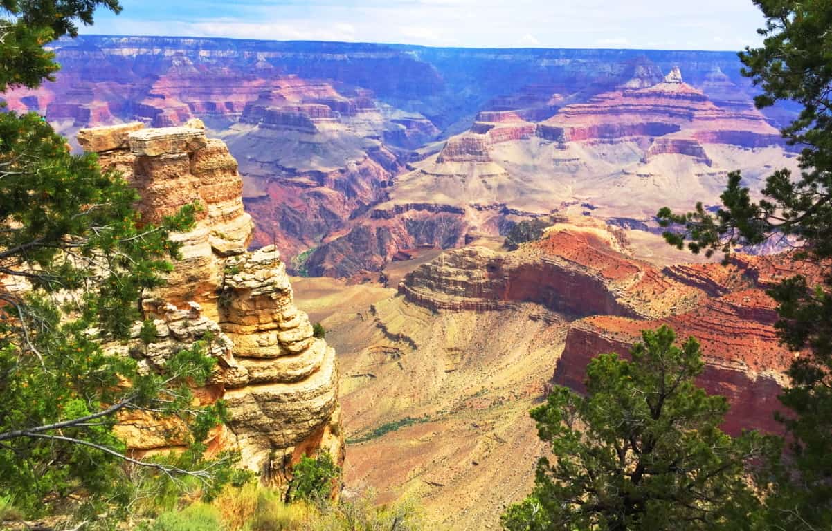
South Rim Trail: Opening with a semi-fictional narrative about what most likely took place for perhaps 10,000 years with the indigenous tribes of this region seems the most appropriate way to honor this sacred space. The statistics should be secondary, as well as what the modern world has done to ‘The Grand Canyon’. The Hopi truly believed an elaborate myth that is still accessible today. They would return to the very area at the base of the Canyon’ annually in order to remember their magical beginning. It is worth noting that the Judeo-Christian myth credits God with making human-kind out of the soil of the Earth in a central ‘Eden’ as well; a strangely similar story of human origin. It is important to include the incredible landscape that surrounds the Grand Canyon as well; the the dusty hills on the edge of the desert near Flagstaff; Grey Mountain; the beautiful Little Colorado Canyon; and the Kaibab National Forest, which is the last natural statement before the Grand Canyon’ itself. All of this runs along a beautiful and well constructed highway.
Directions: From Flagstaff AZ to the Grand Canyon their are a few options for making the amazing drive north. To see the places mentioned above, take Highway 89 North to Highway 64 west. It’s that simple. 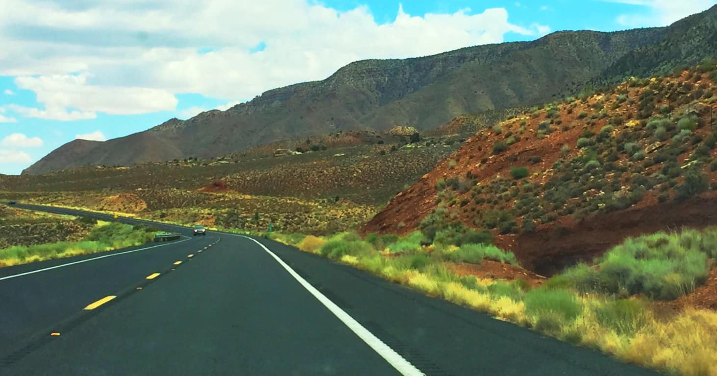 The Grand Canyon is a 277 mile long, by 18 mile wide, gap in the Earth. It is 6000 feet from to bottom where we find a river running through the stone. The Colorado River runs straight through the center of Canyon’ from North-east to South-west. The “official” story is that the Colorado River cut this Canyon.. (Although I find this very difficult to believe) Below is an image of The Colorado River from the South Rim.
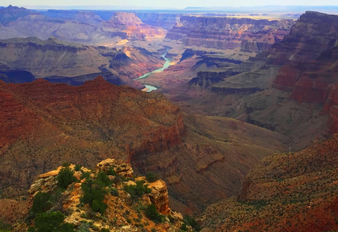 The idea that Colorado River carved this Canyon is illogical for many reasons, and many Geologists challenge this theory. The Canyon is filled with temple-like elevations that have absolute right-angles which in no way coincide with the idea of slow rolling water erosion. In fact, most of the geology at The Grand Canyon points to this chasm being created in a somewhat rapid spasm of massive force, not a slow process. Layers of stone point to the preservation of fauna in distinct singular periods, not an evolved encasing of step-by-step progressions of species; there are no interval species in the strata. There is no indicator of an “evolved erosional process” given to us by our high school text books, but rather, something much more forceful and immediate created this place. How could this be? There are more mysteries than answers here, even at this digitally analytical point in history.
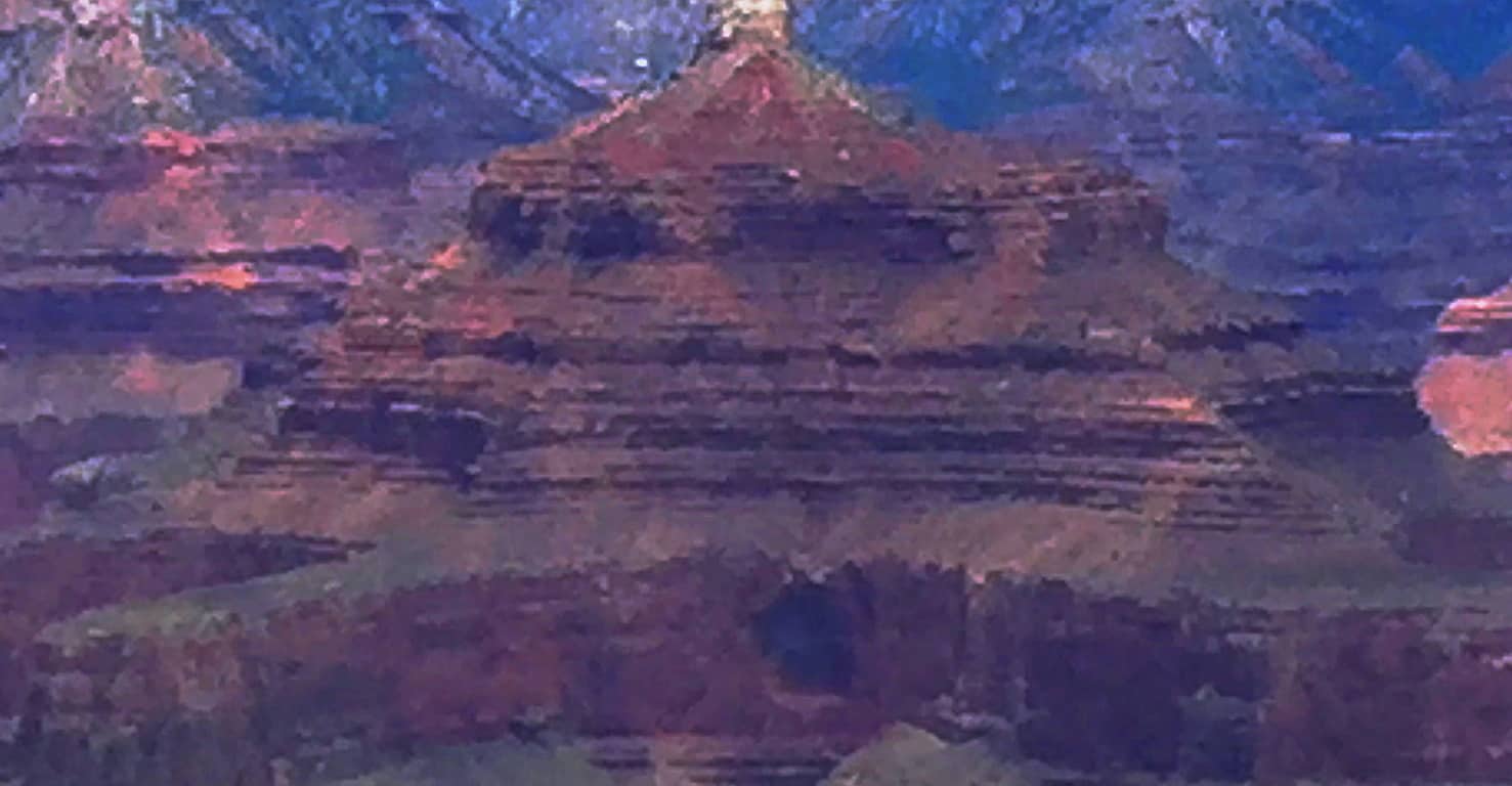
  Mysteries: Across the Canyon near the North Rim is just one of the many elevations within the Canyon that has been given a Coptic name by early century archaeologists:’Isis Temple’. A majority of megalithic works all around the world usually reveal a symmetrical style. Even from many miles away, the symmetry of Isis Temple can be seen, with a lower entrance at the center, aligned with a five-sided pinnacle at the top. This would’ve been a major undertaking by any Neolithic culture. Artifacts with strange symbols have been found within the entry cavern at Isis Temple, along with artifacts in several other labeled elevations within the Canyon.(Image/Below) The Hopi do not take credit for any megalithic craftsmanship in the Canyon, so these “temples” must have been made by someone else. Who could’ve done this? Every thing points to a Megalithic Culture, similar to the one found in Celtic places.
There are also Free-standing boulders in hard-to-explain places, and Standing-Stone fixtures all throughout the lower Canyon’. Along the South Rim there are ledges where boulders, weighing perhaps 20 tons, sit on thin ledges high above the Colorado River. (Image/Below)  It is extremely hard to explain how a boulder such as this came to sit on such a narrow and level ledge, roughly 4000 feet above the base of the chasm. This is one of the most dramatic examples of a Free-standing-boulder I had ever seen, among hundreds of examples stemming from Ireland, Scotland, England, all the way to Arizona. Below is the full view of where this boulder sits. What an incredible scene.
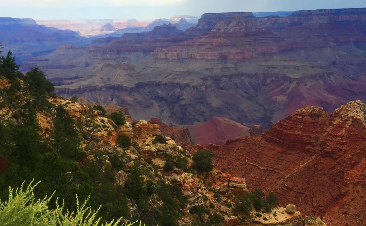 Someone at Grand Canyon National Park is certainly aware of the possibility of Megalithic culture, and Standing-Stones, as the Park has created an artificial Standing Stone set up along the South Rim Trail.
 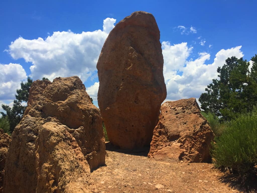 Everything about a Standing Stone like this says “Megalith”.(Image/Below) Just like Megaliths in England, Scotland, Ireland, and New England, Standing-Stones like this usually indicate the claiming of a specific area by those skilled enough to place the Stone; and they had to be strong enough, and smart enough, to do it. Below is the image of a Standing-Stone of the exact same proportion at Avebury Stone Circle in England, 5,200 miles away.
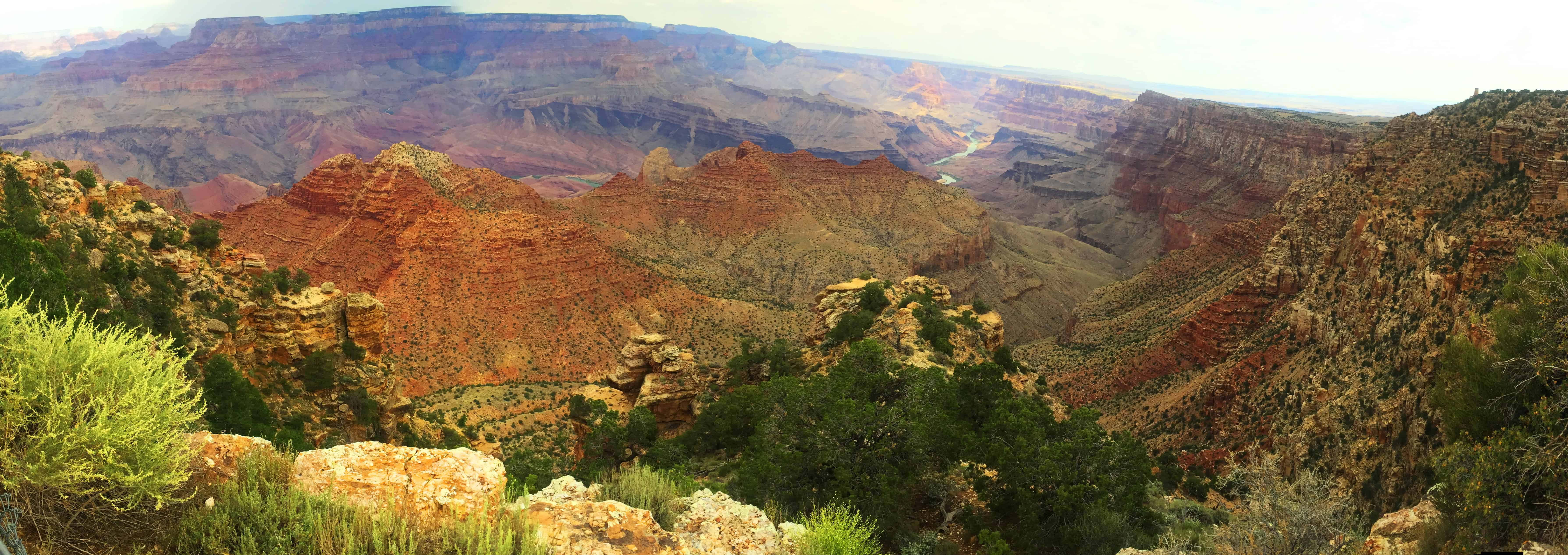
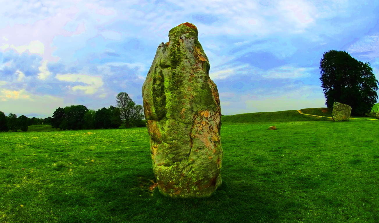 In England, Megalithic culture is acknowledged. In the United States, Megalithic anthropology is suppressed, and mocked; but here on the South Rim there is an opportunity to decide for yourself if a Megalithic culture may have existed in this beautiful place. The South Rim Trail is the best beginner option for the Grand Canyon. The Trail’ is a curvy surreal pathway that takes you through dozens of photographic options for this portion of the Park. (Image/Below)
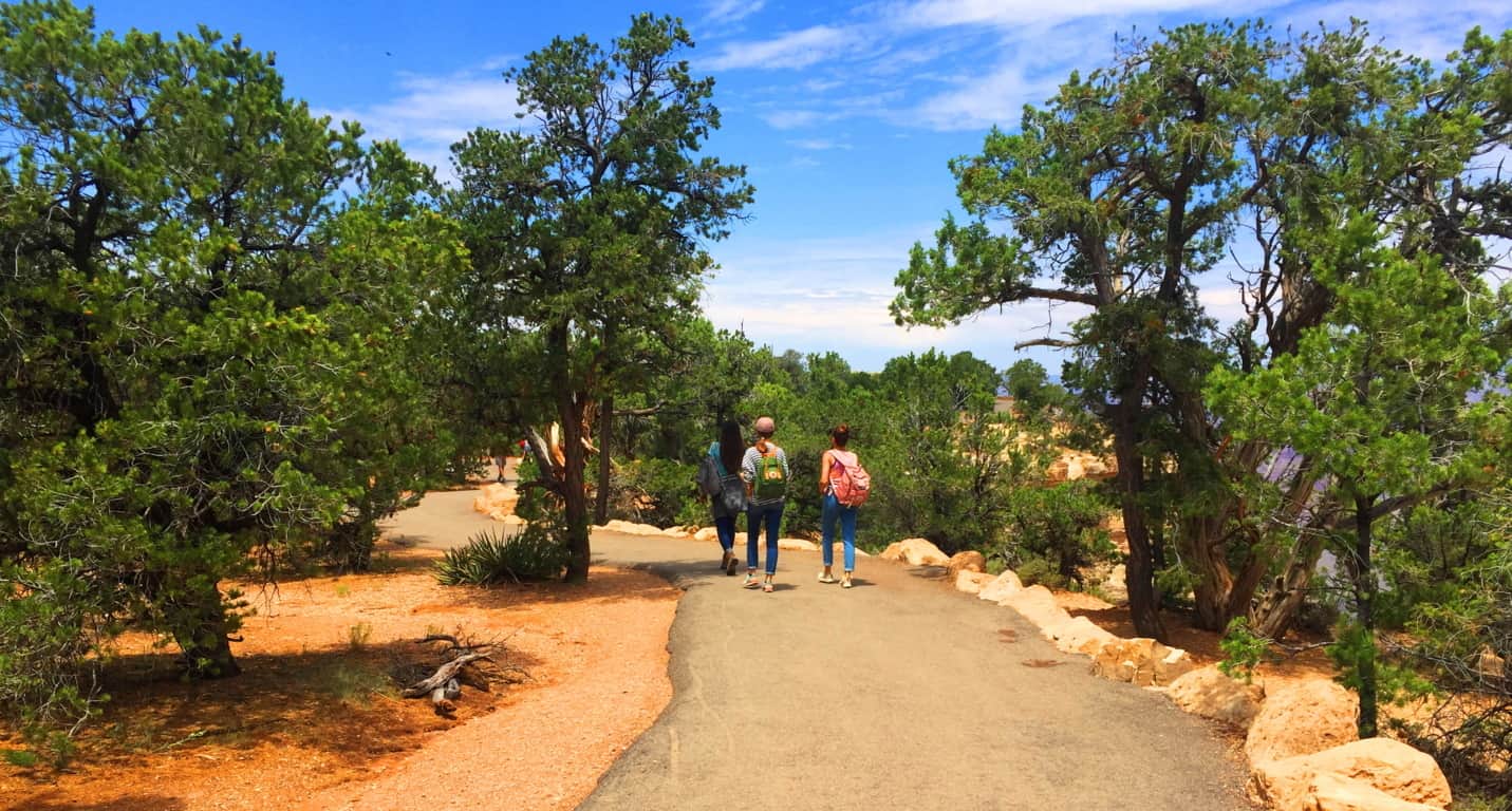 You can simply step off the Trail’ at any time to capture the scenes that appeal to you here. The massive cliffs and chasms have a magnetic quality which seems to call out to the explorer in all of us. The image below is a perfect example of the photogenic power and quality that exudes from the South Rim.
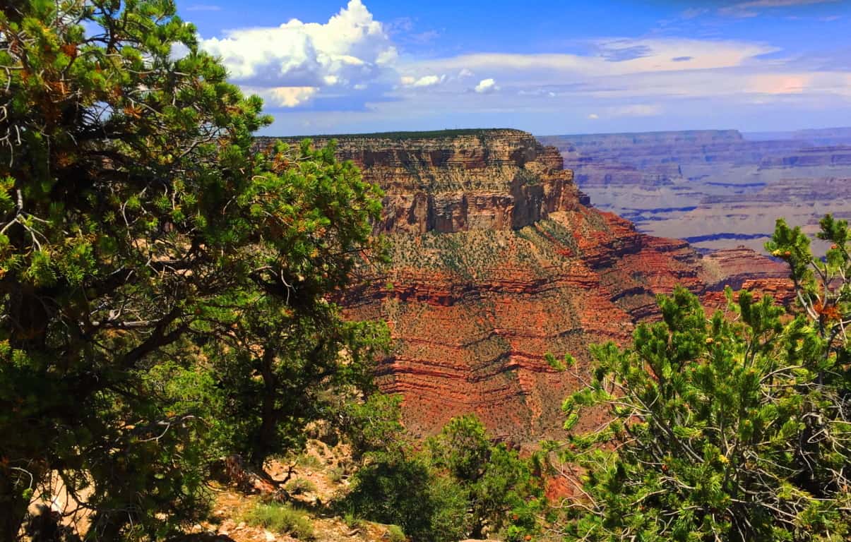
Final Note: The Grand Canyon is a study for every generation. The Canyon’ has qualities that are surprisingly subtle for such a massive space. Before the constraints of the National Park constructed in our current era, a young tribesman, that had yet to come to this area, would’ve wandered into the Kaibab Forest with literally no awareness of the massive vortex of space lying before him. From the Forest there are no signs of the Canyon. It appears so suddenly after clearing the tree-line, so “out-of-nowhere”, that the underlying message is that you truly never know what you may find out on the trail. It is as if Nature itself is trying to tell us: “Never make assumptions; something truly awe-inspiring might be waiting just up the path.”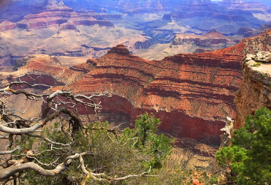 This article is an introduction to the South Rim Trail of Grand Canyon National Park. The South Rim is the more convenient approach for the trails to the bottom of the Canyon, complete with guides, mules, and horses. Be over prepared with water and sunscreen in your packs, along with a small medical kit. For those attempting to make it to the bottom for the first time, the South Rim is your best bet. The South Rim approach is about 4 miles total to the base, while the North Rim is about 8. The upper South Rim Trail is obviously a photographers paradise with a leisurely path that allows you access to ledges which drop a mile, straight down. The glowing goldish’ texture of the stone is mesmerizing to us. The symmetric elevations that rise as temples out of the base, near the Colorado River, force us to wonder almost impossible things. There is even a celestial theory that the temples of the Grand Canyon coincide with the belt of Orion’s major stars.. (Google it). The natural beauty of this place, the vastly humbling abyss of stone, is clearly presented for us to consider. The capability of Nature, and the luck of being alive to witness it, is also part of this experience. But the last thing, a thing that seems to exist in every protected space, from the American West, to the Celtic heights of Scotland, is the earliest Neolithic culture that seems to leave its mark on every sacred space on Earth. All these things are there for you at Grand Canyon National Park. Remember, there is no need to get too close to the ledge, rather, step back a little, and listen to what the landscape is telling you. And always go strong. Happy New Year!
Dedication: This article is dedicated to my father Robert Vincent Vigneau, who passed away yesterday peacefully after a life of international travel and odyssey. Thank you dad for teaching me, at a very young age, to step into foreign lands with curiosity, logic, respect, and no fear. I love you, rest in peace. Robert Vincent Vigneau 1943-2017